
Currently, the amount of technological advancement that the world is witnessing is astounding. An essential part of this development is the growth of the drone and the aviation industry. Drones are getting more often used for surveillance, photography, deliveries, etc. As drone applications increase, the drone industry turns to satellite imagery and geospatial data to optimize its planning, operations, maintenance, and security efforts. To the same extent, planning and managing autonomous flights – manned or unmanned- is making huge steps forward.
Drones for Factory Surveillance
More and more industries are relying on drones for factory surveillance. Drones help the factories monitor real-time activities at any time of the day or night while sitting in any corner of the world. The main advantages of using drones instead of traditional factory surveillance methods are their dynamic placement, the bird's eye view that they can provide, and continuous situational awareness. Factory surveillance through drone technology is much more feasible in terms of costs and ease of use.
Drone Taxis
As shown in sci-fi movies, drones have become a reality for transporting people as a private vehicle and a part of a public transport system. Drones have many advantages over heavy-weight airplanes, especially for short distances and, for example, in Urban Air Mobility (UAM), representing a very challenging environment.
The lighter weight of drones makes them more maneuverable in flight and landing. Drone taxis can fly at low altitudes, and with proper maneuvering, they can be easily saved from running into obstacles. Satellite imagery can help in the easy detection of obstacles. With the concept of travel by drone not yet becoming popular, there is no chance of traffic congestion in the airspace currently. Even when the situation changes, satellite data can primarily help in drone traffic management.
With the rise in drone usage, their safe flight planning and management becomes even more critical, and this is where satellite data can play an unmatched role.
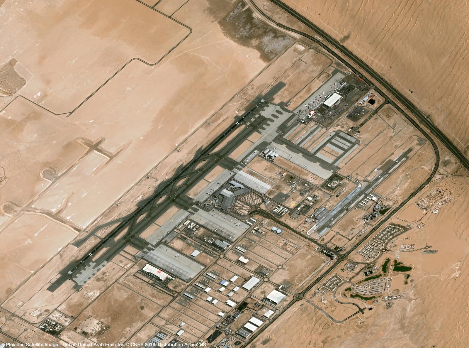
Safer Autonomous Flying with remote sensing
A requirement for safe autonomous flying is up-to-date and precise data regarding obstacles and potential landing spots, integrated into flight planning and operations. Digital Surface Models (DSM) with clutter information and high-resolution satellite imagery can be essential sources.
Remote sensing enables drone operators to prepare a flight plan by providing broader information coverage than traditionally surveyed.
Remote sensing can help provide information about building locations and other obstacles that can hamper and endanger drone operations within a particular area. Using LiDAR, you can have highly accurate elevation data, which is critical for drone operations. Multispectral imagery can mainly help in assessing the natural environment around a drone's flight path. Information about trees that can grow to become obstructions, wetlands in potential construction areas, or vegetation that can attract birds are critical for safe drone flight operations. Satellite imagery can aid in getting a good understanding of such information.
Better Management of Air Traffic
Geospatial technology can play an essential role in controlling air traffic. Location data can enable drones to coordinate with each other and avoid collisions. This could aid in the easy rerouting of air traffic as necessary.
The trend of using satellite data for safer drone operations is picking up. For instance, Altitude Angel, the UTM (Unmanned Traffic Management) technology provider, and Inmarsat specializes in global mobile satellite communications, recently collaborated to develop and deliver an advanced flight tracking and management capability for drones.
The two companies intend to build on Altitude Angel's GuardianUTM platform and develop a 'Pop-Up UTM' capability, which can be deployed anywhere required to manage Beyond Visual Line of Sight (BVLOS) operations. Various other companies are working in parallel on similar projects.
Flying Beyond Visual Line of Sight (BVLOS) more safely
Beyond Visual Line of Sight (BVLOS) operation is picking up as a standard requirement in many industrial and mission-critical applications. Unlocking BVLOS operations in autonomous drones is creating new use cases and enhanced performance scenarios in various applications.
Be it disaster management, precision agriculture, law enforcement, or insurance, more and more industries consider BVLOS as the future for managing operations. For instance, the wide-area surveillance capability that BVLOS offers allows insurers to assess losses in disaster-stricken neighborhoods safely and quickly.
However, the deficit of confidence in the safe operation of BVLOS remains a critical hurdle on their path to getting more ubiquitously adopted. In the absence of a pilot's view, these drones face higher risks of collisions and accidents. This is where high-resolution satellite data can help. The drones can gain enhanced situational awareness using accurate satellite imagery, informing them about the obstacles and helping them reroute as and when necessary. High-resolution, up-to-date data leads to improved planning and increased situational awareness during the flight. This simplifies the process of mapping routes and finding appropriate landing spots.
Where to find high-quality Geodata for safe drone operations?
So, there remains no doubt that is using high-quality geospatial data. The drone and aviation industry can achieve a high operational excellence level in planning and managing flight operations. Geospatial data can also significantly aid in air traffic management and BVLOS operations.
However, an important question arises here: 'Where can I get high-quality geospatial data that meets these needs most effectively?'
One answer is cloudeo.
Using cloudeo, you can access multiple high-quality, ready-to-use data from various geodata creators like satellites, airplanes, drones, and in-situ-data under Data as a Service(DaaS) in a few clicks. Additionally, the Software as a Service (SaaS) feature can allow you to use the latest version of different software types needed to process the geodata without worrying about updates, releases, etc. The platform strategically brings together partners and customers into one standard operating platform globally.
This cloud-based market platform hosts a wide range of value-added service providers and developers who can simplify and customize the data as per the user's needs. With Infrastructure as a Service (IaaS) provision, the users can use all cloudeo services without increasing their IT infrastructure cost. The service works excellently with user-specific specifications, code, workflow, and even offers scalable options at a very affordable price at the customer's preferred location and time.
All in all, the platform stands out as the perfect choice for high-valued geoinformation services that the aviation industry is looking at for better operations. By bringing in all the data creators, data processors, and data users into one platform, cloudeo is creating the most user-friendly geospatial solutions marketplace to meet your company's need of accessing highly accurate geospatial data.
Explore cloudeo today and take an essential step towards building a safe drone flying environment.