
Our rich set of capabilities are designed for today's top geospatial professionals in REMOTE SENSING. PHOTOGRAMMETRY and EARTH OBSERVATION SCIENCE.
CATALYST Professional - delivering outstanding results for satellite, radar, and aerial imagery.
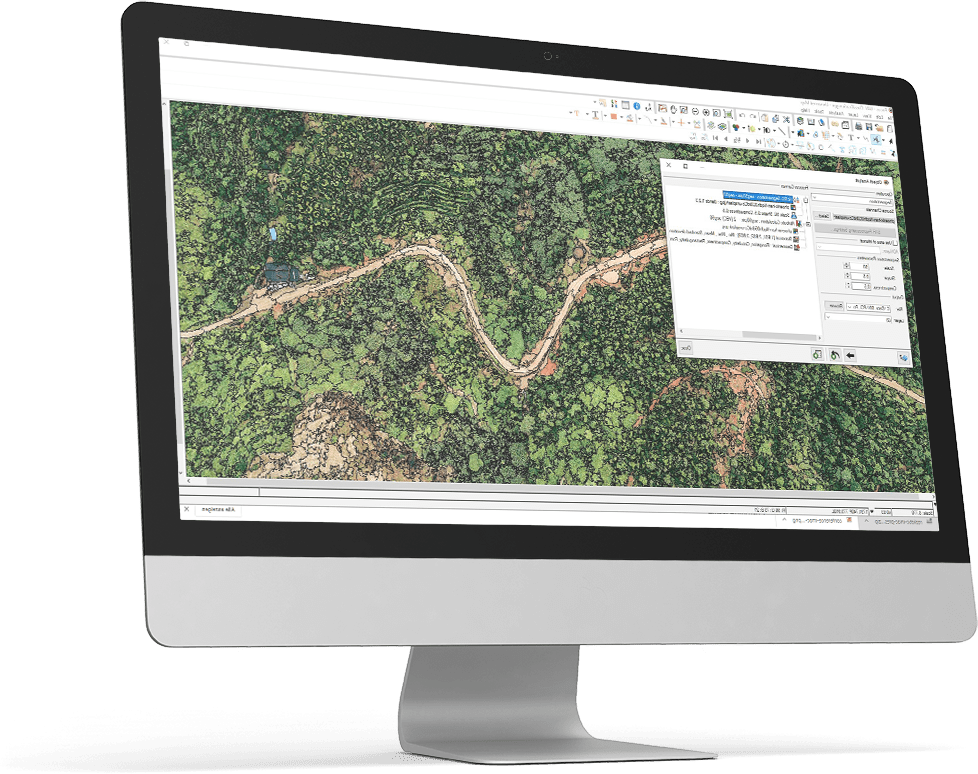
Product Description
CATALYST Professional is the world’s leading geospatial desktop suite, specializing in Remote Sensing, Photogrammetry & Earth Observation Science for optical and SAR imagery. Easily integrate our powerful image analysis, ortho-mosaicking, and image processing capabilities into your geospatial technology stack.
- The confidence to do more - Our rich set of capabilities are deeply rooted in science, well-tested, fully documented, and supported by our in-house team of experts
- Reduce costs, not quality - Reduce the manual effort, time, and ultimately costs by automating more of your workflow and reducing your QA/QC steps
- Prototype to production - Use our interactive environments to prototype workflows. Then automate and scale them with the right subscription option
CATALYST Professional Feature Highlights:
- Industry-leading photogrammetry – 1/10th of a pixel accuracy
- Incredibly detailed DSMs and DTMs
- Complete SAR and InSAR processing suite
- Advanced Machine learning algorithms
- Object-based classification and feature extraction
- Create your own Analysis Ready Data (ARD) products
- Sophisticated radiometric correction
- Image fusion that maintains spectral integrity
- Stunning mosaic generation
- Full automation environments (python and visual modeling)
Please note that this software requires a Workbench.
InSAR gallery

PSInSAR California

3D Differential InSAR

Differential InSAR

Still - PSInSAR Mexico City

Gif - PSInSAR Mexico City
Photogrammetry gallery

Canada Ortho Mosaic - Landsat

Mexico Ortho Mosaic - RapidEye

Mountains DEM - WorldView 2

Urban DSM - Graz, Austria - Aerial imagery

Satellite Ortho Aligned with Roads
Earth Image Processing and Analysis Image Gallery
")
Vegetation Health Analysis (NDVI)

Feature Extraction with Object Analyst

Object Classification with OBIA imagery

Building Analysis - DSM, Ortho and Feature Extraction

Agriculture Analysis – precision farming

Pansharpening – MRA fusion technique

Continuous Change Detection and Classification

Continuous Change Detection and Classification
SAR gallery

SAR Object-based Segmentation

SAR Ship Detection with Coherent Change Detection
Provider:
- CATALYST - A PCI Geomatics brand
Version
Access mode
Delivery time
Useful links
| Essential | Advanced (Aerial) | Advanced (Satellite) | Advanced (SAR) | Complete | |
| Image and Layer Viewer | Essentials+ | Essentials+ | Essentials+ | Essentials+ | |
| Interactive Workflow and Editing Interface | Airphoto Ortho Suite | Satellite Ortho Suite | Radar Ortho Suite | Full Satellite Bundle | |
| Generic Photogrammetry | ADS Ortho Suite | Ortho Production Toolkit | Ortho Production Toolkit | Full Aerial Bundle | |
| Ortho Production Kit | Historical Airpohoto Processing (HAP) | Automatic DEM Extraction | Automatic DEM Extraction | Full SAR Bundle | |
| Mosiac Tool | Ortho Production Toolkit | Analysis-ready Data Tools | SAR Interferometry (InSAR) | 700+ Algorithms | |
| 300+ Algorithms | Automatic DEM Extraction | Pansharpening | SAR Polarimetry and Compact Polarimetry (CPol) | Python API | |
| Python API | Object Analyst | Object Analyst | Object Analyst | ||
| 500+ Algorithms | Atmospheric Correction (ATCOR) | 500+ Algorithms | |||
| 500+ Algorithms | |||||
Please note
This software requires a Workbench. We recommend a Standard, Standard Plus or Professional Workbench. Please include it in your shopping cart before checking out.
Pricing / Licensing
cloudeo Terms & Conditions apply.