
NEXTView™ now available on cloudeo’s market platform
Making UAV flights safer and more efficient with elevation data-as-a-service
Intermap Technologies (TSX: IMP) (OTCQX: ITMSF) (“Intermap” or the “Company”), a global leader in geospatial intelligence solutions, today announced NEXTView™ elevation data is now available through cloudeo’s data-as-a-service platform.
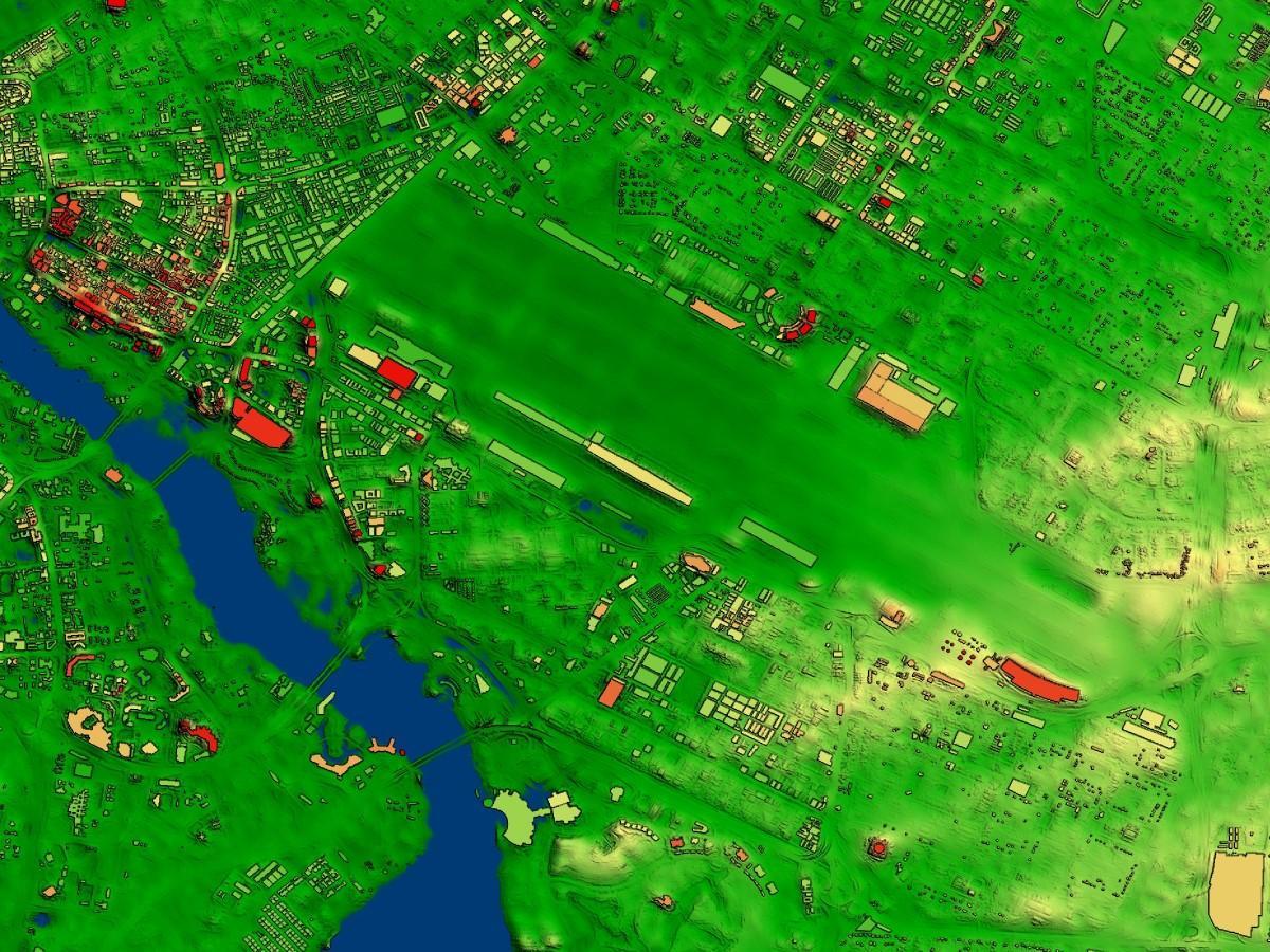
NEXTView is the newest addition of Intermap elevation data to the cloudeo platform. As the world’s first and only high-resolution, global geospatial terrain dataset certified for aviation, NEXTView provides unprecedented situational awareness by combining high-resolution terrain, obstacle, and aerodrome information into a single, coherent, and uniform aviation application. With the fast-growing UAS/UAV industry, customers around the world can now easily access this certified aviation elevation dataset to make flight operations safer and more efficient. NEXTView can also be used for other applications, such as telecommunications, infrastructure planning, vegetation management, and urban planning. Learn more about NEXTView here
Cloudeo’s market platform makes it easy for users to create, interpret and use geospatial data. The platform hosts a wide range of value-added products and services, including Intermap’s elevation datasets and analytics. The platform focuses on Data-as-a-Service (DaaS) and Software-as-a-Service (SaaS), allowing customers to use the latest data and analytics for a variety of projects around the world. This includes solutions for many industries, from agriculture to urban planning, as well as multipurpose remote sensing imagery, elevation data, thematic maps, software, analytics, and IT.
Most of Intermap’s 3D elevation datasets are available on the cloudeo platform as Elevation Data-as-a-Service (DaaS). Cloudeo customers can also subscribe to Intermap’s NEXTMap® Analytics, making it easy and affordable to obtain answers quickly. The cloudeo platform helps customers save costs and administrative efforts with easy access to ready-to-use data and analytics.
“Intermap is one of the world’s leading geospatial terrain specialists and our most important and trusted partner. Its new certified product NEXTView fits perfectly into the growing demand caused by the exploding UAV and planned aerial taxi business. We are excited about this product,” said Cloudeo’s CEO, Dr. Manfred Krischke.
“Our partnership with cloudeo empowers customers around the world to access high-quality NEXTMap data,” said Patrick A. Blott, Intermap’s Chairman, and CEO. “With the addition of NEXTView to the cloudeo platform, users can now easily access elevation data designed for aviation applications. This is another great example of how we are leveraging partnerships with established market leaders to extend our reach into new markets, leverage the scale of our products and technology and economically expand our global footprint.”
About Intermap Technologies
Founded in 1997 and headquartered in Denver, Colorado, Intermap (TSX: IMP; OTCQX: ITMSF) is a global leader in geospatial intelligence solutions. The Company’s proprietary 3D NEXTMap®elevation datasets and value-added geospatial collection, processing, analytics, fusion, and orthorectification software and solutions are utilized across a range of industries that rely on accurate, high-resolution elevation data. Intermap helps governments build authoritative geospatial datasets and provides solutions for base mapping, transportation, environmental monitoring, topographic mapping, disaster mitigation, smart city integration, public safety, and defense. The Company’s commercial applications include aviation and UAV flight planning, flood and wildfire insurance, environmental and renewable energy planning, telecommunications, engineering, critical infrastructure monitoring, hydrology, land management, oil and gas, and transportation. For more information, please visit www.intermap.com.
About Cloudeo AG
Since 2012, cloudeo’s customers across industries can access multiple high-quality, ready-to-use data from various geodata sources like satellites, airplanes, and drones, in-situ-data, etc., under Data as a Service (DaaS) in a few clicks. Software as a Service (SaaS) allows cloudeo’s customers to use the latest version of different software types needed to process the geodata without worrying about updates, releases, etc.
Cloudeo’s platform also hosts a wide range of value-added service providers and developers who simplify and customizes the data to user-specific needs, analytics to make a meaningful insight. The best part is that all cloudeo services can be used without increasing user’s IT infrastructure costs but using cloudeo Infrastructure as a Service (IaaS). This service benefit works very well with the user specifications, code, workflow, and scaling up options as the user needs at a very affordable cost at your preferred location and time.