
KOMPSAT-5 Tasking offers the latest synthetic aperture radar (SAR) imagery with up to 0.85-meter resolution in 3 different acquisition modes: high resolution (HR), standard (ST), and wide swath (WS). Launched in 2014, the KOMPSAT-5 satellite collects X-band SAR data, which works under all weather conditions and is ideal for ocean monitoring, land management, disaster analysis, and environmental monitoring.
Product Description
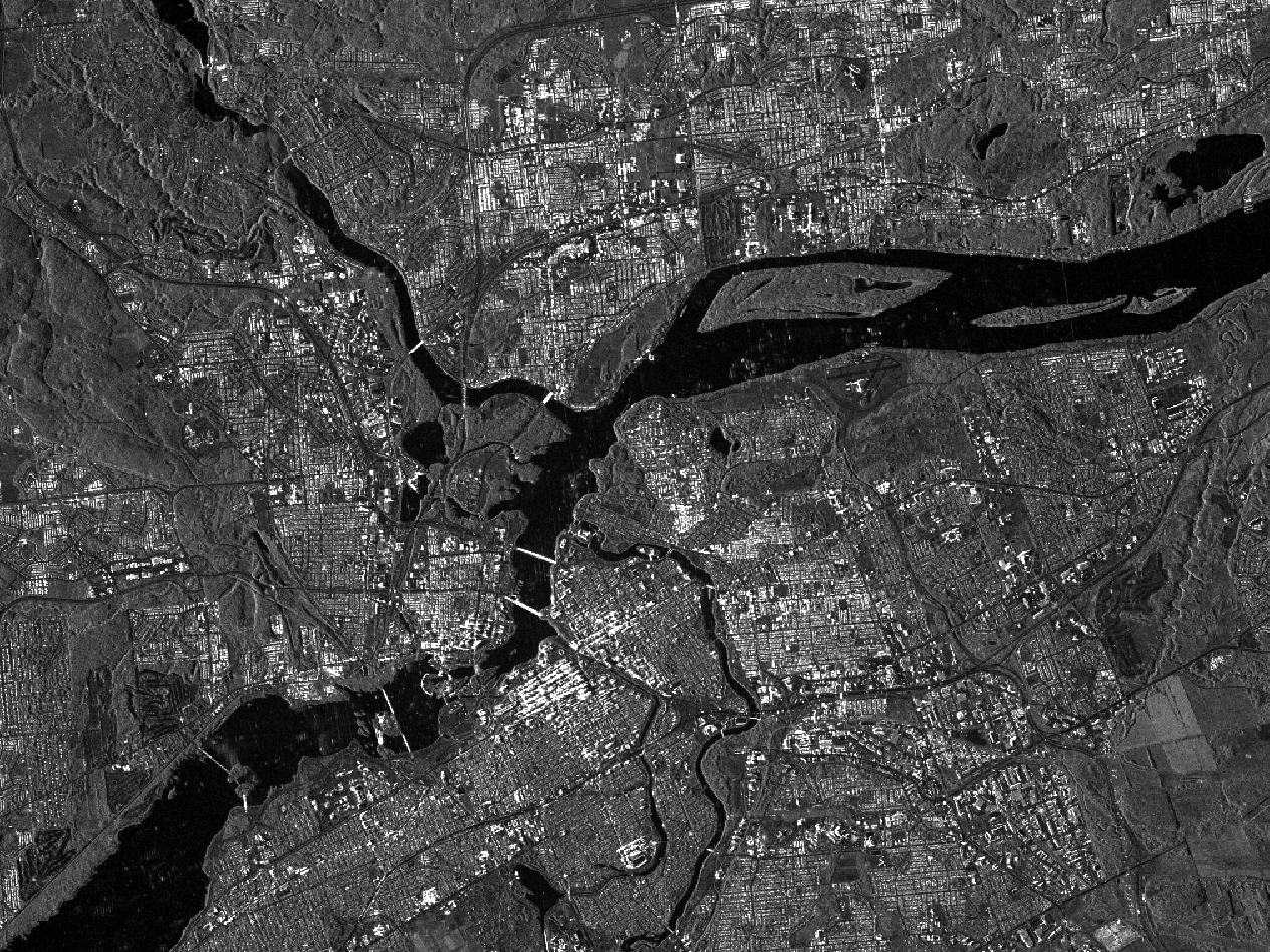
Synthetic aperture radar (SAR) imagery is widely used where reliable images need to be taken independently of cloud cover and daylight. SAR images are perfect for tasks such as topography (Digital Elevation Model generation with interferometry), change detection and surveillance, agriculture monitoring, crop classification, soil moisture, geology, disaster monitoring, and maritime applications like oil spill monitoring and ship detection.
KOMPSAT-5 provides high-quality SAR satellite imagery in multiple acquisition modes, including extra-wide swath with 20-meter resolution and 100 km width, ultra-high mode with up to 0.85-meter resolution and 5 km width, and standard mode with a resolution of 2.5-meters and a swath of 30 km. The imagery is captured at 6:00 in the morning and evening. For all observation modes, the user can select between HH, VV, HV, or VH polarization. KOMPSAT-5 has an average revisit rate of 28 days over the same area.
For time-based licenses, a Workbench - your virtual machine configured for geoprocessing - is required. Workbench saves time and expenses for new hardware, software management, and data acquisition. Access your Workbench from any device anywhere in the world. For more information about the Workbench, please click here.
- KOMPSAT-5 Archive HR: Find here KOMPSAT-5 archive in high resolution mode with a swath width of 5 km and a resolution of 1 m.
- KOMPSAT-5 Archive ST: Find here KOMPSAT-5 archive in standard mode with a swath width of 30 km and a resolution of 3 m - 7.9 m
- KOMPSAT-5 Archive WS: Find here KOMPSAT-5 archive imagery with swath width of up to 100 km and a resolution of 20 m
Permanent data licenses are available upon request. Please contact us.
Provider:
- SI Imaging Services
Off the shelf
On demand
Resolution
Access mode
Format
Delivery time
Downloads
Please note
Beyond the standard options, individual product configurations are possible. Just contact us.
- Different data acquisition modes, including stereo imagery to derive 3D models
- Repetitive acquisitions for monitoring purposes
- Multi-user licenses for larger enterprises
- For universities, an academic discount is available. Please provide a short description of your project if you wish to apply for this discount
- Volume discounts for larger areas are also available
- If you would like to use the product for development, please visit KOMPSAT Development
- For time licenses, a Workbench is required. The Workbench is not included in the calculated price. Please configure it separately and add to your cart: Workbench. If you already have a Workbench, just contact us.
- Permanent data licenses are available upon request. Please contact us.
Pricing / Licensing
The calculated price is valid for internal usage by 5 users and is based on the size of the selected area, the type of license, and discount, if applicable.
KOMPSAT-5 EULA and cloudeo Terms & Conditions apply. In addition, for time licenses only, it is prohibited to download the product or any derived data sets, which would allow reverse-engineering of the product. For all other derived data sets, you can request download directly through cloudeo checkout.