
Telecommunications
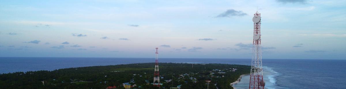
Analyzing and optimizing the existing network or planning your new 5G network requires understanding the three-dimensional spatial environment that your service will operate-in. i.e., what objects exist that may affect the signals and, ultimately, where you choose to site antenna.
Why do we need to plan our radio networks? Indeed, we can deploy as many antennae as we see fit to cover a specific area and provide the required capacity? A significant factor to be considered is cost, and good planning will at least consider three elements, capacity, coverage, and cost of deployment. Determining the 'sweet spot' will be based on the specific use case(s) that are to be addressed. For example, if there is a location where large crowds gather frequently, and access is limited for emergency services, you might consider ensuring there are more coverage and capacity made available than would typically be required. i.e., building in redundancy but at a cost.
Capacity may be a significant factor in ensuring reliable communications. In other situations, broad coverage with limited capacity may be better for lower footfall areas, such as city centers' periphery. Budgetary constraints will always come into play, and with the relatively high cost of the radio equipment, it may be both capacity and coverage need to be compromised. Therefore, planning your' use case' must consider all three components to determine an optimum solution.
As the world is a dynamic environment, care needs to be taken to monitor change and, where necessary, remodel as these changes occur or as the use cases develop further. The key to conducting the planning is knowing the area you wish to deploy and the type of connectivity demand you are trying to fulfill. Below are a few areas cloudeo supports its customers
Network Planning- Establish a correlation between network capital requirements and market revenue potential by service area for Demand Forecast.
- Monitor growth and expand capacity to reduce the risk of held orders or denial of service for Capacity Analysis.
- Planning Capital Efficiency and network expansion with fewer field visits.
- Determine market potential and identify high-revenue areas for Revenue Forecasting.
- Boost Business Intelligence with data on customers and competitors.
- Track customer connections, mix activity, and market trends within a particular service area for Campaign Management.
Engineering & Construction
- Integrating local information to produce more detailed and optimized designs with fewer delays.
- Meet service commitment dates by tracking expansion & construction progress for Network Activation.
- Contractor Management by providing contractors accurate designs and monitor construction progress.
- Gaining service area insights and support crew safety for field operations staff.
Sales & Service Delivery
- Identifying areas of opportunity, monitoring network expansion, and determining accurate installation for new customers.
- Saving the cost of site visits with office access to data such as drop requirements and network capacity.
- Create an accurate model of true revenue potential for future expansions.
- Identify new high-value service areas and improve marketing campaign efficiency.
Customer Care
- Enabling service technicians to generate repeated trouble reports.
- Reducing mix up by mapping & evaluating disconnects for targeted retention programs.
- Allowing dispatchers to process customer service requests and follow through.
- The Retail Store Locator allows customers and staff to learn more about services and navigate to the closest retail store.
 MAPSGEO sarl Do you need high-resolution imagery over a whole country or large area for your mapping project? Then 21AT Basemaps / LAM is perfect for the occasion. Since... |  cloudeo You have a plan and budget right now, which needs geo resources like data, software, or cloud resources within the next year, but you do not know exactly?... |  Airbus Defense and Space Elevation1 provides highly accurate up to 1.5m vertical accuracy at 1m grid spacing elevation information anywhere in the world, independent of relief and we... |
 Airbus Defense and Space Elevation30 is a unique worldwide 3D geographic reference database with a vertical accuracy down to 6m at 30m grid spacing specifically designed for large ar... |  Airbus Defense and Space Elevation4 provides highly accurate up to 3m vertical accuracy at 4m grid spacing elevation information anywhere in the world, independent of relief and weat... | 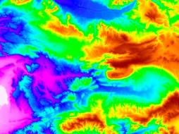 Airbus Defense and Space Elevation8 provides highly accurate with vertical accuracy down to 3m at 8m grid spacing elevation information anywhere in the world, independent of relief a... |
Hexagon Keep your high-resolution data locally with Hexagon Satellite imagery. Simply select your area of interest, the dataset you need, and get your data delivered... | Hexagon Keep your high resolution data locally with Hexagon Pixel Delivery. Simply select your area of interest, the dataset you need, and get your data delivered fa... |  Hexagon The HxGN Content Program Streaming Aerial Imagery Service provides login-only access to an extensive online library of 30 cm and 15 cm (urban areas) ortho-re... |
 SI Imaging Services Access 1-meter panchromatic (PAN) and 4-meter multispectral (MS) image repository data for various applications, gathered by a high-performance remote sensin... |  SI Imaging Services The latest high-performance remote sensing satellite images providing 1-meter panchromatic (PAN) and 4-meter multispectral (MS) image data for various applic... | 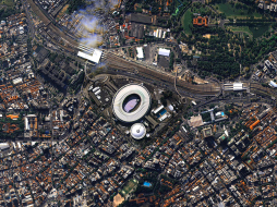 SI Imaging Services Providing 0.4-meter panchromatic (PAN) and 1.6-meter multispectral (MS) archived satellite image data for applications requiring extreme precision imagery ga... |
 SI Imaging Services Access 0.5 meter panchromatic (PAN) and 2 meter multispectral (MS) image data repository gathered by a high-performance remote sensing satellite for various... | 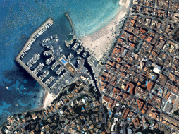 SI Imaging Services Providing 0.4-meter panchromatic (PAN) image and 1.6-meter multispectral (MS) image data for applications requiring extreme precision. Track detailed changes... |  SI Imaging Services KOMPSAT-3 Tasking offers access to the latest images gathered by a high-performance remote sensing satellite providing 0.5-meter panchromati... |
 Novlum Inc. The high-quality 30-meter DTM maintains the input Digital Surface Model (DSM) seamlessly and void-free with flattened water bodies. NakedEarth... | 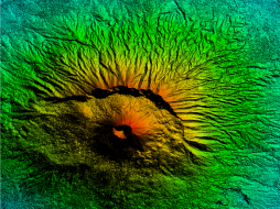 Intermap Technologies Provides seamless digital elevation data with data coverage for 40 countries at 5-meter resolution and reduces costs with time-limited licenses and no minimu... | 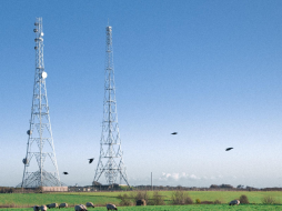 Intermap Technologies The geo service NEXTMap Analytics – Profile provides quick and easy access to terrain profiles anywhere on the globe. Visualize the topograp... |
 Intermap Technologies The geoservice NEXTMap Analytics – Value provides precise elevation information at any point in the world. Based upon highly accurate NEXTM... | 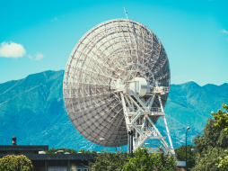 Intermap Technologies The geospatial service NEXTMap Analytics – Viewshed provides instant 360° communications coverage map, visibility, and obstruction analysis... | 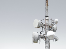 Intermap Technologies Wireless network design and the installation of antennas requires an understanding of the best possible location and height of communication towers so that n... |