
Provides seamless digital elevation data with data coverage for 40 countries at 5-meter resolution and reduces costs with time-limited licenses and no minimum area of interest requirements to perform accurate geospatial analysis across the globe with NEXTMap 5 as a Service. It is ideal for projects requiring thorough attention to detail, such as engineering, infrastructure planning, environmental analysis, emergency response, and mapping.
Product Description
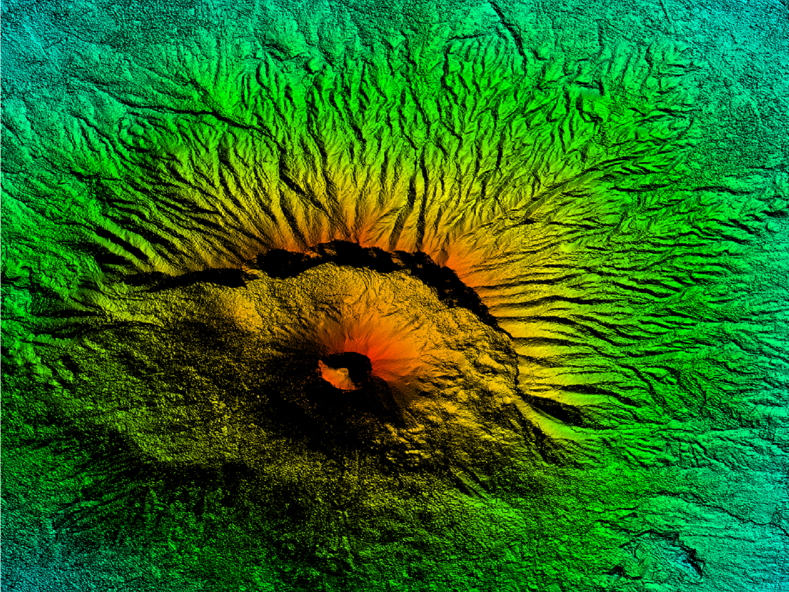
NEXTMap 5 as a Service provides seamless and void-filled high-resolution digital elevation data for Western Europe and the USA with uniform 5-meter posting. NEXTMap 5 data has been collected using highly advanced technologies and is continuously updated to enable accurate geospatial analyses.
NEXTMap 5 DSM (Digital Surface Model) includes surface elevations from terrain, vegetation, and human-made features, such as buildings and infrastructure. NEXTMap 5 DTM (Digital Terrain Model) shows only the bare earth where all the surface features have been removed.
Both DSM and DTM are ideal for mapping, visualization, and analysis. They are used in sectors such as telecommunications, geology, aviation, forestry, natural resources management, infrastructure planning, and emergency response; DTM is commonly used in applications like orthorectification, 3D visualization, watershed analysis, environmental risk analysis, and cartography.
NEXTMap 5 as a Service is accessible on the Workbench, your cloud-hosted IT infrastructure configured for geoprocessing. For more information about the Workbench, please click here.
Provider:
- Intermap Technologies
Off the shelf
Resolution
Access mode
Format
Delivery time
Links
Please note
- For time licenses, a Workbench is required. The Workbench is not included in the calculated price. Please configure it separately and add to your cart: Workbench. If you already have a Workbench, just contact us.
- Orders of over 25,000 km2 require approval from Intermap.
Pricing / Licensing
Intermap EULA and cloudeo Terms & Conditions apply.