
Select 10,000km² of PlanetScope satellite imagery al a carte. Perfect for projects with strict scopes and deadlines, customers can pre-pay for imagery, past and future, up to the total maximum allowance.
Product Description
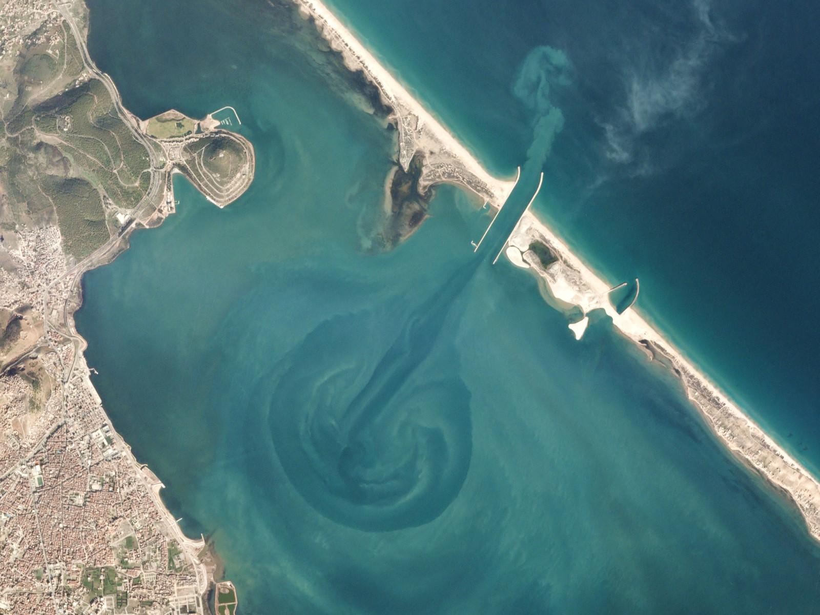
The complete PlanetScope constellation of approximately 130 satellites is able to image the entire land surface of the Earth every day, equating to a daily collection capacity of 200 million km²/day, with sub-daily revisit rates.
Perfect for projects with a defined scope and deadline, select the fuss-free Planet Self-Service option for a one-time al a carte imagery download option. This flexibility allows customers to pre-pay for imagery and stay on budget for their project.
For example, select an AOI of 5,000km² and 2 images, 2500km² and 4 images, or 1000km² and 10 images, the choice is yours. The allowance expires when your coverage runs out. Please specify your preferred method of delivery below. Planet Explorer is Planet's easy to use web app, where you can define your AOI and select your scenes for download. Planet's Data API is a simple command-line method to download your images. If you prefer file transfer, please note that we will contact you for your AOI, date range, cloud cover, cadence, and off nadir requirements.
Provider:
- Planet
Off the shelf
Resolution
Access Mode
Format
Delivery time
PlanetScope Technical Information
| Basic Scene (L1) | Ortho Scene (L3) | |
| Ground sample distance | 3.7 m | 3.7 m |
| Pixel Resolution | 3.7 - 4.1 m | 3.0 m |
| Spectral bands | B G R NIR | B G R RE NIR |
| Bit depth | Analytic (DN): 12 bit, Analytic Radiance: 16 bit | Visual: 8-bit, Analytic (DN): 12-bit, Analytic (Radiance): 16-bit, Analytic SR: 16-bit |
| Geometric precision | <10 m RMSE | <10 m RMSE |
| File structure | GeoTIFF | GeoTIFF |
| Revisit time | Daily at nadir | |
Please note
If you prefer file transfer, please note that we will contact you for your AOI, date range, cloud cover, cadence, and off nadir requirements.
Pricing / Licensing
Planet Terms of Use and cloudeo Terms & Conditions apply.