
Data as a Service (DaaS)
As more and more mainstream industries embrace geospatial technology, it is common for our customers are turning to the cloud environment to modernize their infrastructure, to collaborate better, and to create leaner workflows.
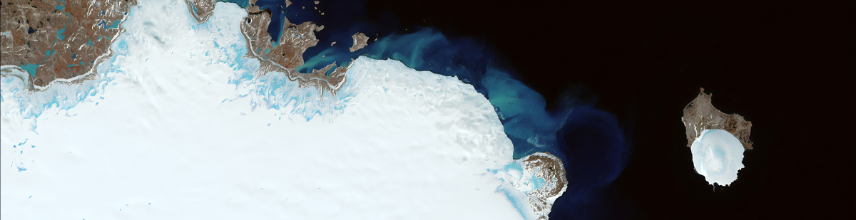
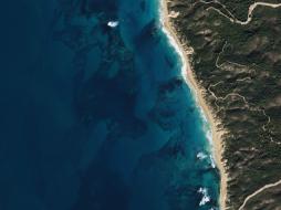
Our Data as a Service, or DaaS, is an increasingly popular solution among our customers for accessing highly valuable data from various sources, like suppliers of satellite, airplane, and UAV imagery and data, without a need to buy permanent licenses for EO data integration, management, storage, and analytics. Using data as a service is especially advantageous for short-term projects, where long-term or permanent licenses and data purchases can become cost-prohibitive.
By using our DaaS, our customers get faster access to multiple high-quality data sources, make their workflows more agile, reduce time-to-insight, and increase the reliability and integrity of their output. With DaaS, customers never need to worry that their data packages are obsolete or outdated – they will be automatically updated as new data are made available by the providers.
Our strategy of delivering data applications to our customers is designed specifically for fast, large-scale EO cloud service management, and processing has made our DaaS beneficial for many different industries and applications.
Benefits of cloudeo’s Data as a Service
- Minimal setup time: Using a DaaS solution, our customers can begin processing and work with data almost immediately.
- Improved functionality: Our cloud infrastructure is stable and reliable, reducing downtime and disruptions for DaaS workloads.
- Greater flexibility: cloudeo DaaS is more scalable and flexible than the alternatives and allocates resources instantaneously.
- Cost savings: With cloudeo DaaS, data managing and processing becomes more cost-effective. Our customers can allocate just the right amount of resources and adjust them as needed.
- Automated maintenance: The tools and services built on cloudeo DaaS platforms are automatically managed and kept up to date, which saves our customers cost and effort for updating it.
- Making more effective use of their human capital: Customers using our DaaS platform can make more effective use of their human capital like people don’t have to spend time doing this and can focus on other tasks.
- Connected Hub: With the cloudeo DaaS platform, our customers can get to work without downloading data, and still have regular access to the data to serve their customers in a revenue-sharing model.
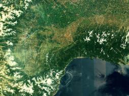
 Planet Get a snapshot of your area of interest to discover patterns, detect early signals of change, and make timely, informed decisions. With 15 SkySat satellites... | 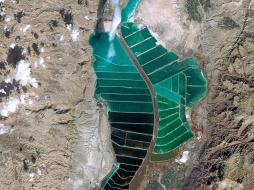 Airbus Defense and Space The SPOT imagery products offer high resolution over broad areas using the SPOT satellites. An acquisition covers large areas in a single pass at resolutions... | 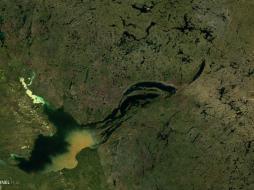 Sentinel Hub VAS Have you ever wanted to have easy access to satellite data? Then EDC Sentinel Hub is the way to go. EDC Sentinel Hub is the go-to data processing service to... |
 Sentinel Hub VAS Have you ever wanted to have easy access to satellite data? Then EDC Sentinel Hub is the way to go. EDC Sentinel Hub is the go-to data processing service to... | 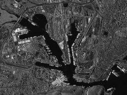 Airbus Defense and Space TerraSAR-X reliably provides high-resolution SAR imagery with a resolution of up to 0.25m independent of weather conditions and illumination. The products al... | 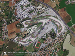 21AT TripleSat Constellation Archive has the right tools when you need a time-series of images to map or monitor your area of interest. You can r... |
 21AT TripleSat Constellation Tasking has the right tools when you need a time-series of images to map or monitor your area of interest. With a st... | 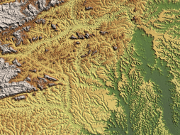 Airbus Defense and Space WorldDEM™ is a 12m Digital Surface Model (DSM) with unprecedented quality, accuracy and coverage. WorldDEM™ provides a reliable and precise reference layer t... | 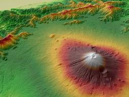 Airbus Defense and Space WorldDEM™ Streaming grants global access to WorldDEM™ (12m) and WorldDEM4Ortho (24m) via streaming. Browse, discover, and experience the global WorldDEM™ dat... |