
TerraSAR-X reliably provides high-resolution SAR imagery with a resolution of up to 0.25m independent of weather conditions and illumination. The products also feature a very high geometric and radiometric accuracy as well as a global mean revisit time of 2.5 days.
Product Description
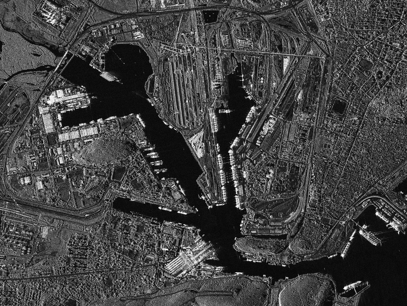
TerraSAR-X reliably acquires high-resolution and wide-area radar images, from 0.25m to 40m resolution, independent of the weather conditions. The satellite features a unique geometric accuracy that is unmatched by any other commercial spaceborne sensor. TerraSAR-X is specifically optimised to meet the requirements of commercial users around the globe who require readily available, high-quality and precise Earth observation data. The archive dates back to 2008 in some areas.
TerraSAR-X is a leading satellite for geospatial intelligence, for defense and change detection in sensitive areas. From SAR data, very high resolution digital elevation models can be built from stereo SAR imagery, generating the very highest resolution elevation information available. Analysis of SAR imagery can also reveal displacements in the earth's surface, such as after a geological event. And because of how SAR imagery reflects on water, it makes an excellent choice for maritime monitoring and analysis, from ship tracking to oil spill identification.
TerraSAR-X benefits:
- Flexible coverage and resolution: high resolution for specific target areas, medium resolution for large area coverage
- Excellent geometric and radiometric accuracy
- Comprehensive network of ground stations and Direct Access Services ensure data delivery in near real time
Please indicate in the remarks field what time period, off nadir angle, and cadence you would like from the archive.
Provider:
- Airbus Defense and Space
Off the shelf
Access mode
Format
Delivery time
| Imaging Mode | Standard Scene Size | Spatial resolution |
| Staring SpotLight (ST) | 4 x 3.7 | 0.25 m |
| HighRes SpotLight (HS) | 10 x 5 | 1 m |
| SpotLight (SL) | 10 x 10 | 2 m |
| StripMap (SM) | Single: 30 x 50 ; Dual: 15 x 50 | 3 m |
| ScanSAR (SC) | 100 x 150 | 18.5 m |
| Wide ScanSAR (WS) | 270 x 200 | 40 m |
Please note
Archive data conditions: data in archive for more than 30 days after acquisition date.
For larger orders, please contact us.
TerraSAR-X Archive is sold by the scene, not by total area of interest.
Pricing / Licensing
TerraSAR-X EULA and cloudeo Terms & Conditions apply.