
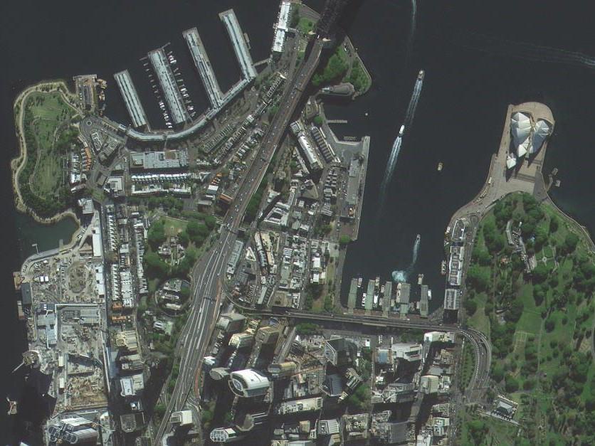
Do you need high-resolution imagery over a whole country or large area for your mapping project? Then 21AT Basemaps / LAM is perfect for the occasion. Since it's nearly cloudless, ortho-rectified, mosaicked, and color-balanced, this RGB or RGBNR imagery is ready to go right out of the box for most countries in the world, available in 50cm, 80cm, or 2m resolution.
Product Description
Basemaps provide the perfect backdrop to any mapping or analysis project, especially when imagery covering a large area is needed. They are ideal for infrastructure and city planning, mapping, ecological restoration, and emergency preparation.
21AT Basemaps / LAM (large area mosaic) offer high-resolution ortho-imagery in three different resolutions: 50cm, 80cm, and 2m with band combinations of RGB or RGBNR for surface reflectance information. It is post-processed, orthorectified, seamlessly mosaicked, color-balanced, nearly cloudless, and best of all, with coverage available over whole countries or any large area. They are updated annually and ensure you are getting current imagery. Archive Basemap uses imagery from the past 3 years to create the composite, while Basemap Plus uses imagery from the last 12 months.
Custom options include resolution (50cm, 80cm, or 2m), resampled lower-resolution imagery (from 2m to 10m), date ranges of the imagery used in the basemap (3 year composite, or fresh rolling 1 year archive imagery), RGB or RGBNR band combinations, cloud cover from
Provider:
- MAPSGEO sarl
Resolution
Bands
Geolocation accuracy
Access mode
Format
Delivery time
Please note
Minimum AOI is 2000km². A feasibility analysis is required before purchase.
Pricing / Licensing
21AT EULA and cloudeo Terms & Conditions apply.