
Software as a Service (SaaS)
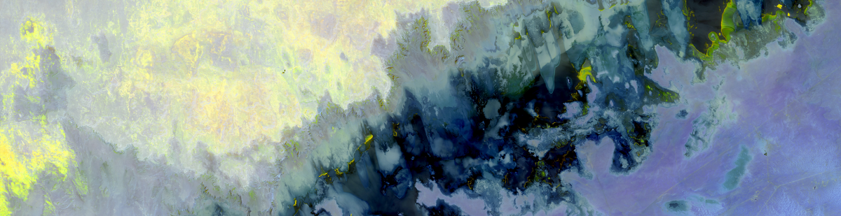
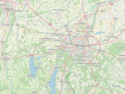
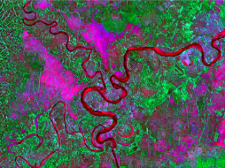
Businesses and GIS users around the world prefer software that is easy to use, provides business-class support and supports a wide range of geospatial data file formats, including vector, raster, geographic database, Relational Database Management System (RDBMS), LiDAR, radar, CAD, elevation, web, multitemporal, GIS software project, OGC map packages, 3D, interchange, and other file formats used in the industry.
Key software features that users consider before selecting their software are processing speed, flexibility, scalability, stability, and interoperability with their existing workflows. Depending on the application and user preferences, cloudeo can direct customers to the right software for their needs. Other features that may be considered are:
- Tools such as image processing, feature modeling, accurate rendering, processing speed, edit and analyze capabilities for CAD, BIM, GIS data, and DBMS, and visualization
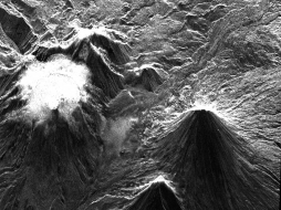
- 3D rendering and data ingestion, such as point clouds (LiDAR)
- Interoperability, data integrity, conflation tools, integration of existing workflows, compatibility with geospatial formats
- Usabilities such as map publishing tools, flexible map viewer interfaces, and mobile capabilities
cloudeo's Software as a Service (SaaS) is available for a range of photogrammetry & remote sensing software suites, from standard mapping, EO image processing and analysis tools to automatic generation of digital terrain and 3D city models and 3D feature extraction to GIS software for EO data visualization and advanced analysis. But rather than having to buy expensive software packages and long-term licenses, cloudeo SaaS users can reduce their costs by giving them instant access to Software and the necessary infrastructure. In addition to saving on initial investments, cloudeo SaaS users also benefit by not having to handle Software and infrastructure updates – those will be done automatically. The benefits are obvious for short-term or one-time projects, where long-term licenses and commitments can be cost-forbidding. But it is also an opportunity to “test drive” the software applications before entering long-term license commitments.
The benefits of cloudeo's Software as a Service
SaaS cloud-based solutions increase efficiency and cost-effectiveness, along with scalability, remote access to services, and automatic updates.
- Low setup and infrastructure costs: Your bottom line will not be affected by depreciation, as there will be no capital expenditure over time
- Accessible from anywhere: Any connected device can access the services, which facilitates working from home, without any productivity losses from remote employees, and, at the same time, helps save on office space
- Rapid implementation: Set-up is quick and easy compared with in-house IT
- Scalability: Access is typically arranged per seat, and per month, so a business only purchases the access that it needs. But having the option to add more seats and to extend the applications as needs expand makes this convenience easily scalable
- Automatic, frequent updates: All updates, weekly or monthly, are handled by the vendor. No need for users to maintain or support legacy versions of the Software
- Timely improvements are provided automatically by cloudeo, informed by user feedback. This service frees up the IT department for more business-critical tasks
- Security at the highest level required by any customer -- again, provided by cloudeo
- The pay-as-you-go model of payment lets enterprises shift costs to an ongoing operating expense for easier-to-manage budgeting. They can stop subscribing to SaaS offerings whenever they want and thus prevent those recurring costs
- Industry-leading service level agreements (SLAs) for uptime and performance
 cloudeo Pre-installed latest GIS Mapping Software ArcGIS Pro on cloudeo`s Workbench supports data visualization; advanced analysis... | 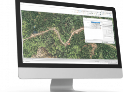 CATALYST - A PCI Geomatics brand Our rich set of capabilities are designed for today's top geospatial professionals in REMOTE SENSING. PHOTOGRAMMETRY and EARTH OBSERVATION SCIENCE. C... |  cloudeo You have a plan and budget right now, which needs geo resources like data, software, or cloud resources within the next year, but you do not know exactly?... |
 L3Harris Geospatial The Geospatial image analysis software used by GIS professionals, remote sensing scientists, and image analysts to extract meaningful information from satell... | 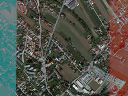 Racurs The PHOTOMOD software supports the complete workflow of map production, from start to finish, in a powerful, cloud-hosted environment. This... | 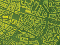 Racurs PHOTOMOD - Academia supports the complete workflow of map production, from start to finish, in a powerful, cloud-hosted environment. This di... |
 Racurs Simplify frequently used workflows with a rich library of professional synthetic aperture radar (SAR) processing tools with PHOTOMOD Radar c... | 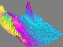 Racurs PHOTOMOD Radar - Academia combined with a cloudeo Workbench simplifies frequently used workflows with a rich library of pro... |