News
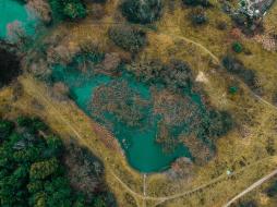
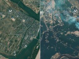
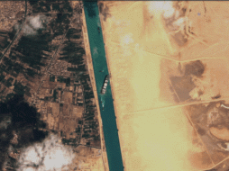
Blog when some of the first cameras were strapped to balloons and kites, Earth observation technology and satellite imagery sources have come... | Blog Ten years ago, on March 11, 2011, off the east coast of Japan’s Tohoku region, one of the most powerful earthquakes that was ever... | Blog On March 23, 2021, the Ever Given, one of the world’s largest container ships, wedged its bow into the banks of the Suez Canal, choking... |
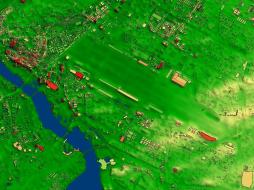
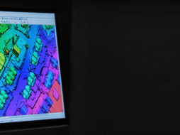
Press release NEXTView™ now available on cloudeo’s market platform Making UAV flights safer and more efficient with elevation data-as-a-service... | Blog The COVID-19 pandemic has accelerated businesses’ digital transformation in ways not seen before. Beyond the surge in the use of more... | Blog Currently, the amount of technological advancement that the world is witnessing is astounding. An essential part of this development is... |
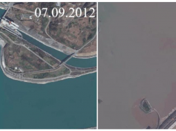
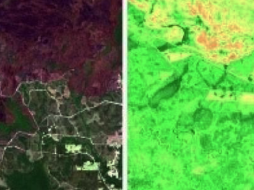
Blog Telecommunication is a highly competitive industry. A major factor that has enabled the leaders to gain a competitive edge is their... | Blog Three Gorges Dam, the dam on the River Yangtze (Chang Jiang) just west of Yichang City in Hubei Province, China. Once the dam was... | Blog Mapping and monitoring of agricultural areas are an ideal application for satellite image data as big areas can be easily covered in a... |
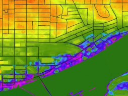
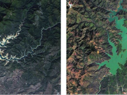
Blog NEXTMap One is available as a DSM (digital surface model) or DTM (digital terrain model). With a DSM, it is also possible to see... | Press release PCI Geomatics, a world-leading developer of remote sensing and photogrammetric software and systems, announced today the availability of... | Blog From 2011 to 2017, California experienced one of the worst droughts in state history. Shasta Lake is California's largest... |

