
Elevation4 provides highly accurate up to 3m vertical accuracy at 4m grid spacing elevation information anywhere in the world, independent of relief and weather conditions, on-demand for your area of interest. Whether planning an infrastructure network, conducting a military intervention mission in unknown terrains, or analyzing terrain features for oil and gas exploration: accurate terrain height information is critical.
Product Description
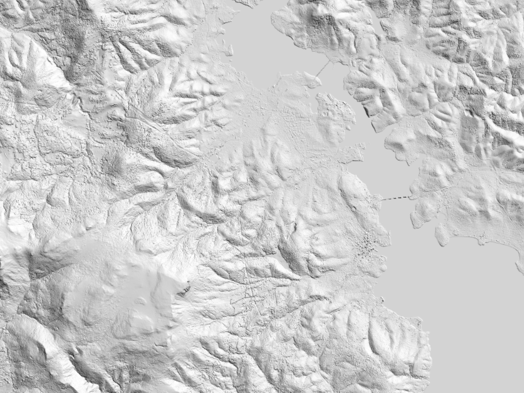
Elevation4 from Airbus provides very high-resolution terrain relief models on demand. Elevation4 is ideally suited for any relief (urban or environmental). The models are made from Pleiades satellite imagery, with its outstanding agility as a constellation, making it the ideal solution for accurate 3D modeling. Stereo or Tristereo can be acquired over large areas and processed into a smart 3D database to match any of your needs, including exploration, civil engineering projects, and land management. When you order Elevation4, production is tailored to your area of interest.
The models come in two formats: Digital Surface Model (DSM; a model of the ground that includes both ground and above ground features as buildings, vegetation, etc.) or Digital Terrain Model (DTM; representing the bare Earth elevation, vegetation and man-made objects removed). In addition to the elevation information, you also receive the original Pleiades imagery used to create it.
Elevation4
- Up to 3m vertical accuracy at 4m grid spacing
- Derived from optical spaceborne technology
- Ideally suited for any kind of relief (urban or environmental)
- Minimum order size 100km²
Provider:
- Airbus Defense and Space
Posting
Vertical accuracy
Horizontal accuracy
Access mode
Delivery time
Please note
Minimum order size 100km².
Contour lines only available for DTM and Bundle