
The HxGN Content Program Streaming Aerial Imagery Service provides login-only access to an extensive online library of 30 cm and 15 cm (urban areas) ortho-rectified aerial imagery. This aerial imagery is the perfect base map for GIS and mapping professionals needing accuracy and currency at an affordable price.
Product Description
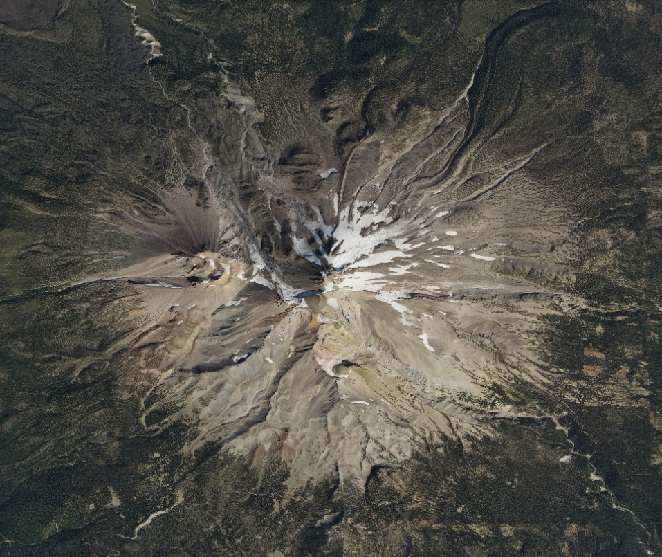
The HxGN Content Program is a high-quality ortho imagery streaming service for professionals in the United States and parts of Europe (see coverage map). Stream aerial image base maps into your geospatial and enterprise applications. All imagery is orthorectified with 30 cm resolution coverage of the United States and parts of Europe and 15 cm resolution in metro areas (cities larger than 50,000 population) of the United States. The service provides current and accurate orthorectified imagery that meets international industry standards, is refreshed on a pre-planned schedule and available by streaming through OGC WMS/WMTS protocols.
Your subscription is tailored to your area of interest. You can subscribe to a county, a metro, an entire state or the whole of the United States, depending on your needs. The subscription by zone enables complete cost transparency.
Stream imagery using protocols such as ArcGIS, OGC WMS and WMTS directly into your GIS or enterprise application of choice, including Esri, MapInfo, and Global Mapper. Subscription fees include unlimited viewing and plotting.
Please specify in the remarks field which County, Metro area, or State in the USA, or Country in Western Europe you would like to stream.
Provider:
- Hexagon
Off the shelf
Resolution
Access mode
Format
Delivery time
Links
Please note
Please specify in the remarks field which County, Metro area, or State in the USA, or Country in Western Europe you would like to stream.
Pricing / Licensing
Hexagon Terms of Use and cloudeo Terms & Conditions apply.