

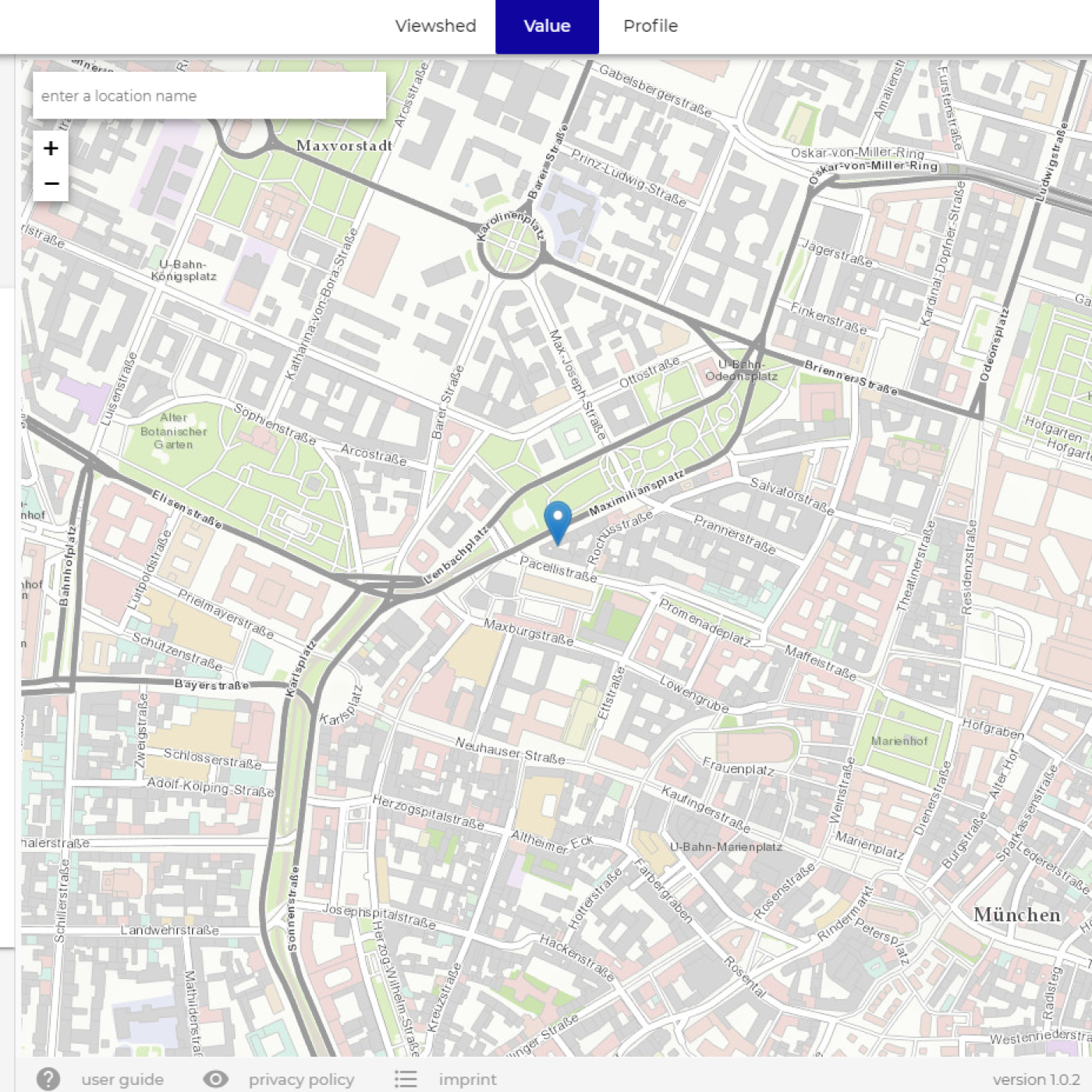
The geoservice NEXTMap Analytics – Value provides precise elevation information at any point in the world. Based upon highly accurate NEXTMap foundation data sets from Intermap, Value retrieves the accurate altitude for any given location. Value gives your business fast access to accurate elevation information for your assets and analysis anywhere, without the need to manage and host data. The service is available through our cloudeo NEXTMap Analytics web app.
Product Description
To ensure that you always get the highest-accuracy elevation results worldwide, Value automatically selects the data set with the highest resolution available for your area: NEXTMap One has a resolution of 1 meter, NEXTMap 5 has a resolution of 5 meters, and NEXTMap 10 has a resolution of 10 meters. The calculations can be based on either a digital surface model (DSM) or digital terrain model (DTM) with features such as buildings and trees removed. You may select your output value in metric or imperial. Please see below to view the coverage areas of each dataset.
NEXTMap Analytics – Value is particularly helpful for any user in the telecommunication industry looking for high-quality information on terrain/surface structure. Combined with our other services Profile and Viewshed – all accessible through our cloudeo NEXTMap Analytics web app – Value provides you with essential information for line-of-sight and microwave link design when planning for new towers and upgrading existing network coverage.
Provider:
- Intermap Technologies
Powered by
Off the shelf
Resolution
Abs vertical accuracy
Access mode
Please note
- The values expire after the subscription period.
- Larger value quantities are available with additional volume discount on request. License restrictions may apply for risk assessment applications.
Pricing / Licensing
Intermap EULA and cloudeo Terms & Conditions apply.