
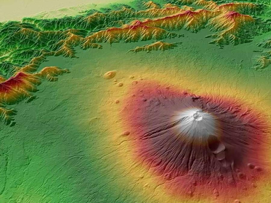
WorldDEM™ Streaming grants global access to WorldDEM™ (12m) and WorldDEM4Ortho (24m) via streaming. Browse, discover, and experience the global WorldDEM™ dataset by viewing the relief map. Access the WorldDEM™ and WorldDEM4Ortho databases to generate value-added information and run analyses.
Product Description
The WorldDEM Streaming service provides access to the global WorldDEM database via two protocols. These protocols include WMTS for free unlimited access to relief map viewing and WCS for accessing the data in full resolution. A weblink for WorldDEM Streaming is provided upon order receipt allowing direct connection to your GIS. API integration into own applications is possible. The consumption can be monitored and tracked online. There is no minimum Area of Interest (AOI) size for streaming, allowing you to exactly define individual AOIs. Once an AOI has been streamed, it can be used multiple times (only pay once for same area). This offer comes with a yearly subscription model. Several subscription ‘Packages’ are available suiting to your needs starting at just €2,500/year (625km² of WorldDEM or 2,000km² of WorldDEM4Ortho, or a combination of the two).
WorldDEM is a 12m Digital Surface Model (DSM) with unprecedented quality, accuracy and coverage. WorldDEM provides a reliable and precise reference layer to enhance a wide range of applications. WorldDEM4Ortho is a 24m elevation information layer optimised for the orthorectification of high-resolution (HR) and very high resolution (VHR) optical satellite imagery. WorldDEM4Ortho is the most consistent, homogenous and accurate elevation model for high-quality image orthorectification on a global scale.
Pole-to-pole coverage coupled with unrivalled accuracy and quality - these are the defining characteristics of the WorldDEM™. The accuracy surpasses that of any global satellite-based elevation model available today and defines a new industry standard. WorldDEM™, a global DEM, is derived from TerraSAR-X and TanDEM-X radar satellite data with vertical accuracy down to better than 4m at 12m grid spacing. The product is available as Digital Surface Model with or without flattening of water bodies and as Digital Terrain Model representing bare Earth elevation.
- Viewing: Browse, discover, and experience WorldDEM by viewing the full resolution relief map
- 3D Analytics: Access to the global* WorldDEM and WorldDEM4Ortho databases to generate value-added information and run analyses
- Ease of use: Direct connection to user’s GIS software & API for integration into own applications
- Keep track: See an overview of your requests and balance with the WorldDEM™ Streaming Service Manager in your Web browser
Provider:
- Airbus Defense and Space
Off the shelf
Resolution
Accuracy
Access mode
Format
Delivery time
Long text
| Package | WorldDEM | WorldDEM4Ortho |
| Starter | 625km² | 2083km² |
| Standard | 1500km² | 5000km² |
| Advanced | 7500km² | 25000km² |
| Pro | 50,000km² | 166,667km² |
| or any combination | or any combination |
Pricing / Licensing
Airbus World DEM EULA and cloudeo Terms & Conditions apply.