
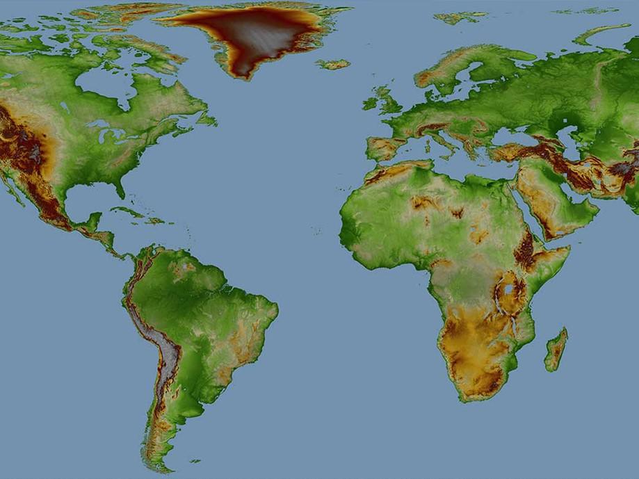
Elevation30 is a unique worldwide 3D geographic reference database with a vertical accuracy down to 6m at 30m grid spacing specifically designed for large area coverage, addressing mapping, GIS, and military needs. Whether planning an infrastructure network, conducting a military intervention mission in unknown terrains, or analyzing terrain features for oil and gas exploration: accurate terrain height information is critical.
Product Description
Elevation30 is a Digital Elevation Model derived from SPOT5 optical satellite data (developed in partnership by Airbus Defence and Space and the French survey and mapping agency IGN as reference3D) and radar spaceborne technologies allowing a greater coverage independent of terrain characteristics and weather conditions. It has a vertical accuracy down to 6m at 30m grid spacing. It is available off-the-shelf over more than 80 million square kilometers.
This dataset is immediately available, priced simply per square kilometer, and is ideal for defense, mapping, and terrain modeling applications. The model is available tailored exactly to your Area of Interest (AOI) starting at a minimum of just 500km².
Provider:
- Airbus Defense and Space
Posting
Vertical accuracy
Horizontal accuracy
Access mode
Delivery time
Please note
Minimum order size 500km².