
Power your applications and analytics with seamless Planet Basemaps built from the most recent imagery over broad areas. With daily, global imaging, Planet selects the best pixels and transforms them into visually consistent and scientifically accurate mosaics that empower time-series analysis and machine learning-powered analytics.
Product Description
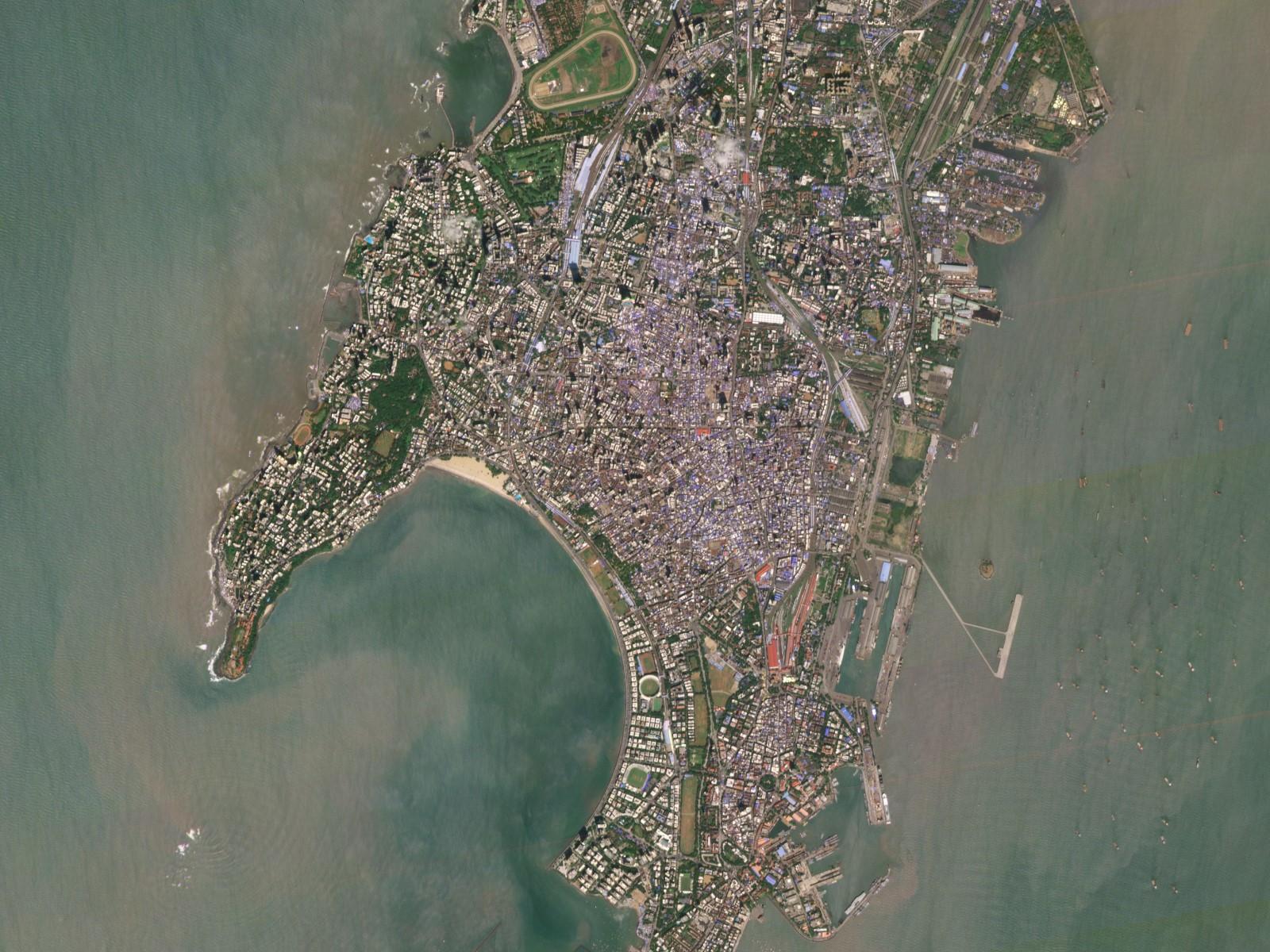
Satellite imagery mosaics have long been staple products used in geospatial analysis. But the exponential increase and availability of satellite imagery make their use more relevant today than ever. Planet has automated a number of most current satellite map preprocessing steps to help our customers take full advantage of global, high-frequency imagery. The result is Planet Basemaps, the most recent, complete, and analysis-ready mosaics for monitoring change over broad areas.
Leveraging cutting-edge software upon imagery from the world’s largest satellite constellation, Planet transforms raw pixels into visually consistent and scientifically precise mosaics over broad areas, creating the most current, complete, and analysis-ready basemaps on the market.
Planet Basemaps empowers customers with a timely, visually consistent, and objective “source of truth” for insights over broad areas and diverse geographies.
Basemaps of your AOI can be updated on a daily, weekly, monthly, or yearly basis with area selection from small to global. To see possible combinations, please refer to this document. Please fill out the form below and we will contact you with a binding quote.
Provider:
- Planet
Off the shelf
Resolution
Access Mode
Format
Delivery time
Links
PlanetScope Technical Information
| Basic Scene (L1) | Ortho Scene (L3) | |
| Ground sample distance | 3.7 m | 3.7 m |
| Pixel Resolution | 3.7 - 4.1 m | 3.0 m |
| Spectral bands | B G R NIR | B G R RE NIR |
| Bit depth | Analytic (DN): 12 bit, Analytic Radiance: 16 bit | Visual: 8-bit, Analytic (DN): 12-bit, Analytic (Radiance): 16-bit, Analytic SR: 16-bit |
| Geometric precision | <10 m RMSE | <10 m RMSE |
| File structure | GeoTIFF | GeoTIFF |
| Revisit time | Daily at nadir | |
Please note
Not all product combinations are possible. We will contact you with a binding quote shortly.
Pricing / Licensing
Planet Terms of Use and cloudeo Terms & Conditions apply.