
WaterExtent - Monitoring provides global insights on the location and quantity of one of the planet’s most valuable resources – water, which is critical for human health and welfare, food security, and environmental sustainability. WaterExtent is a geoservice that provides a time series of maps, clearly delineating the surface water extent from any non-aquatic features, such as land, vegetation, snow, and ice.
Product Description
This service benefits all agencies and companies who require reliable, repetitive, and low-cost information for water supply management, flood assessment, coastal analysis, or other aquatic investigations. Without time-consuming data searches and expensive on-site surveys, property owners, real estate and construction companies, and insurance companies get low-cost and fast, recent, and contiguous information on the extent of water bodies over time. Use WaterExtent to monitor the extent of reservoirs and lakes, observe seasonal flooding of agricultural fields, and track resource utilization and environmental benefits.
WaterExtent is a robust multispectral index that performs well for most surface water conditions. The monitoring is based on Landsat-8 and Sentinel-2 satellite images. Each suitable Landsat-8 or Sentinel-2 data set acquired within a specified time period will be analyzed. Known limitations include imagery with high cloud cover or confusion of water areas with dark surfaces and shadows and underestimating water areas with high turbidity.
Output files are in standard GeoTIFF and Shapefile formats. They are ready for immediate visual interpretation and direct incorporation into reports, presentations, or further analysis.
Use Cases
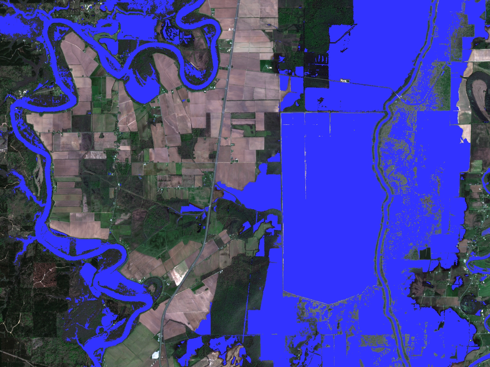
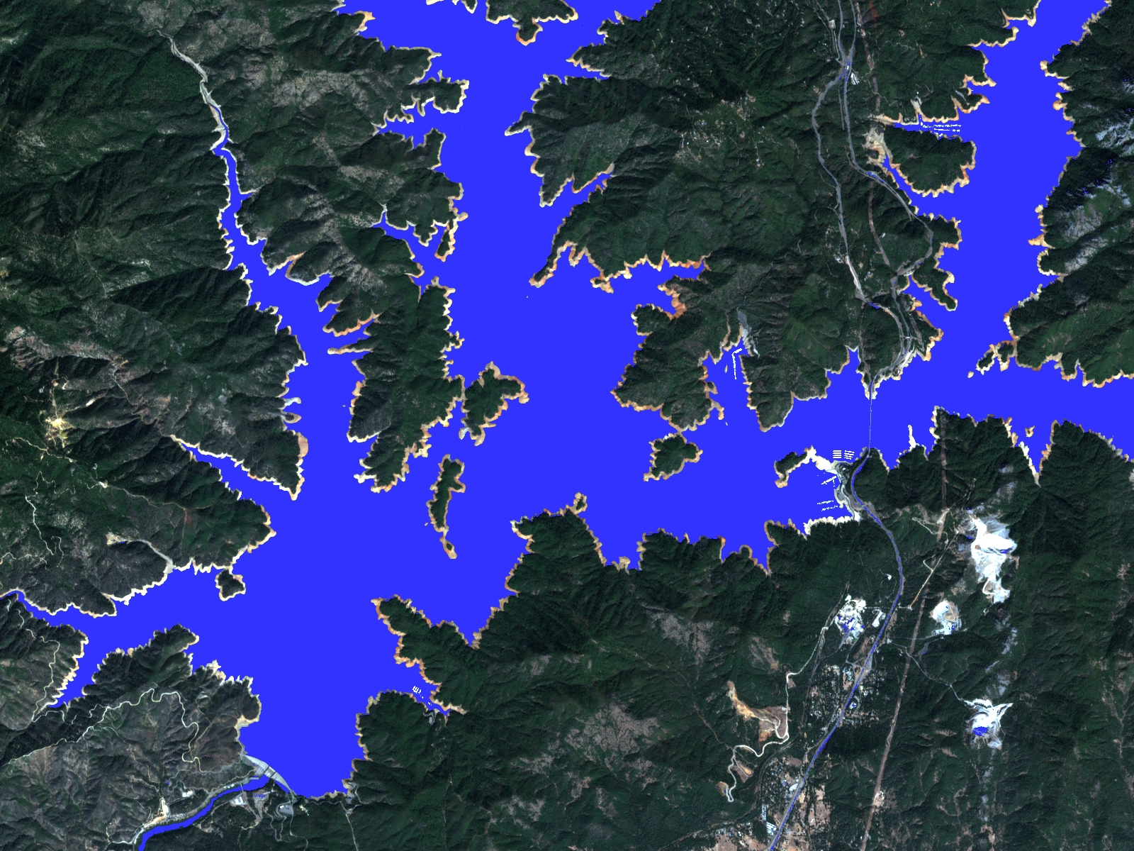

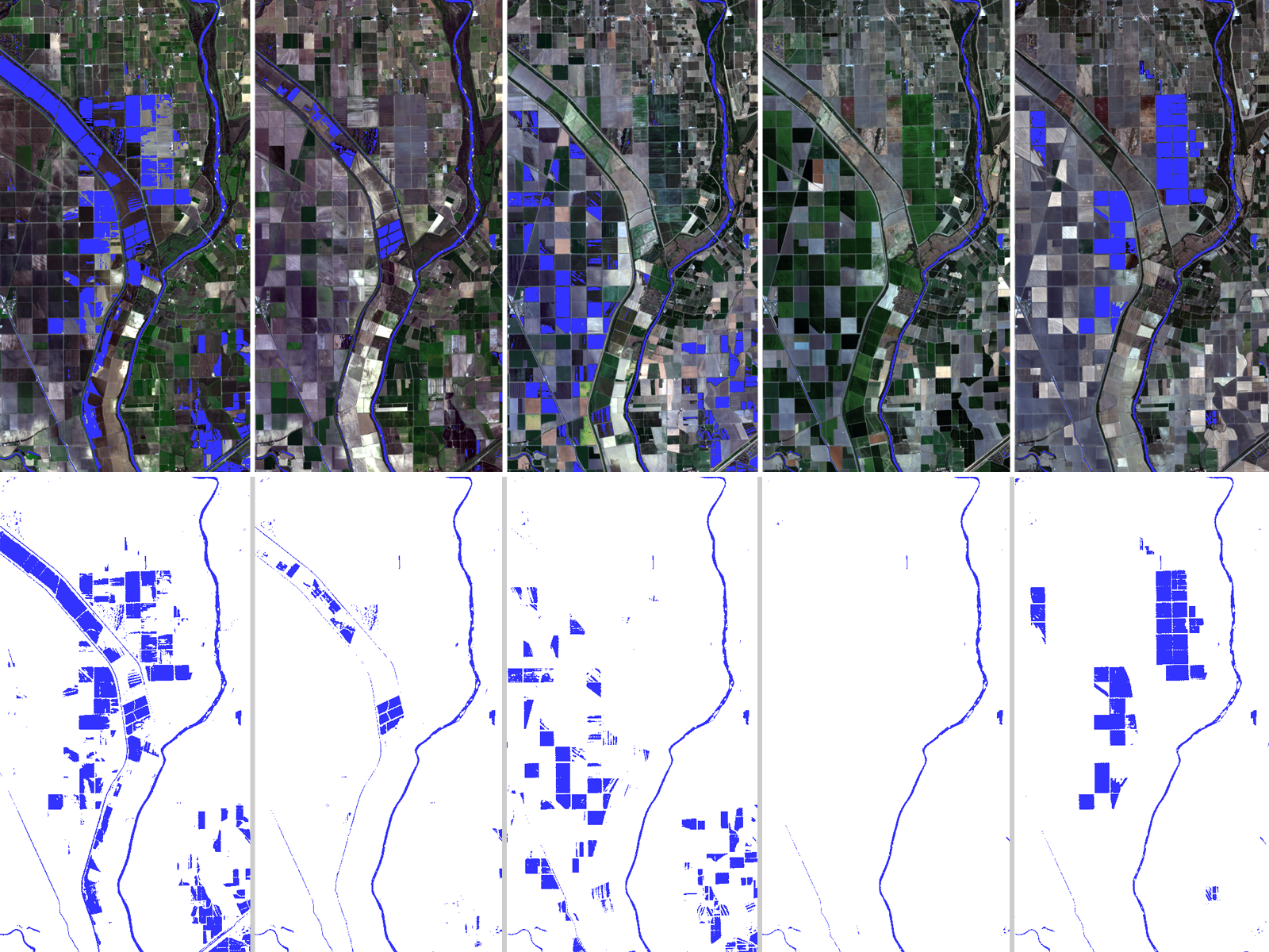
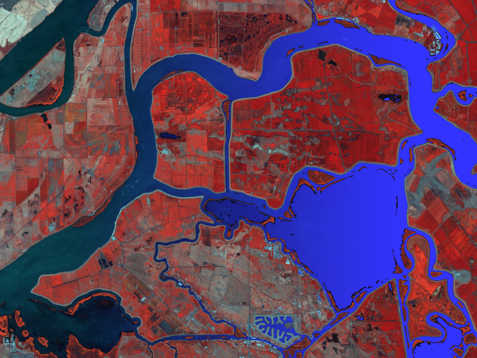
From left to right: River Flooding; Reservoir Monitoring; Agricultural Canals; Seasonal Flooding Time Series
Reservoir monitoring
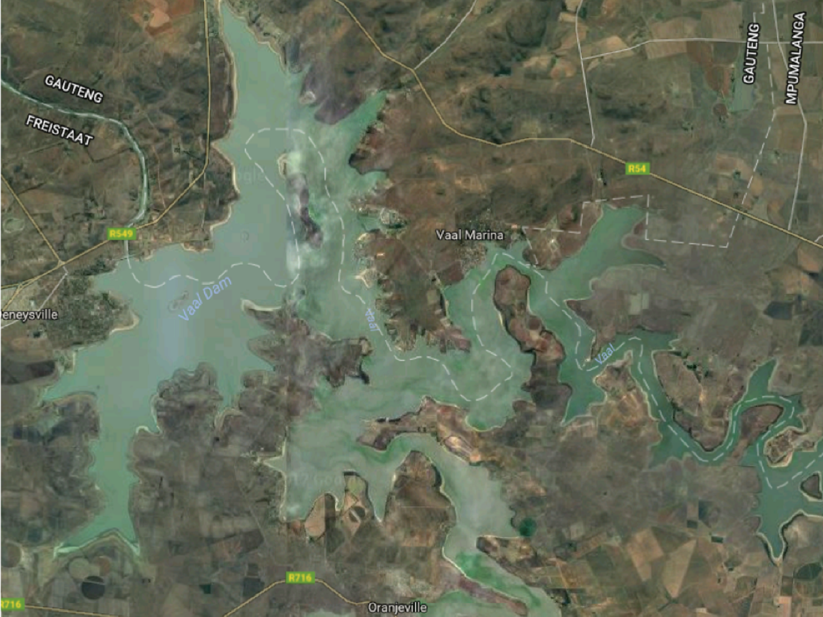
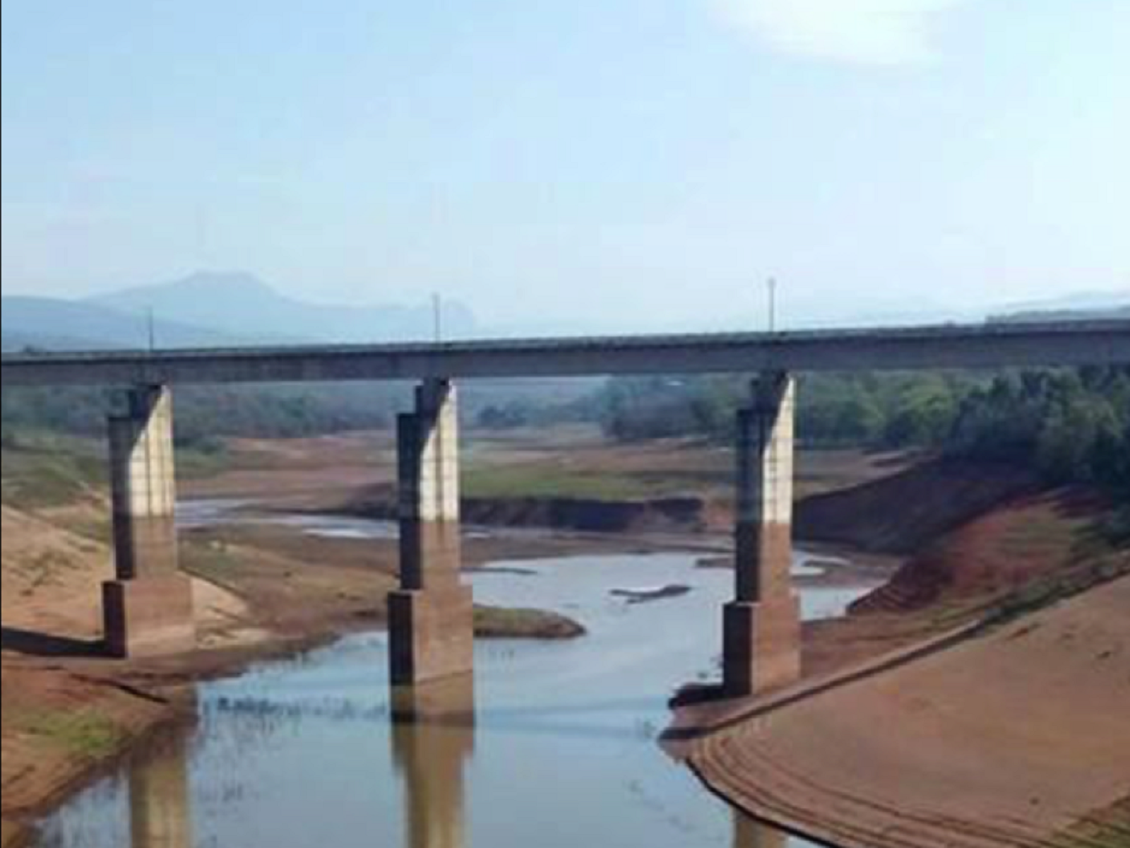
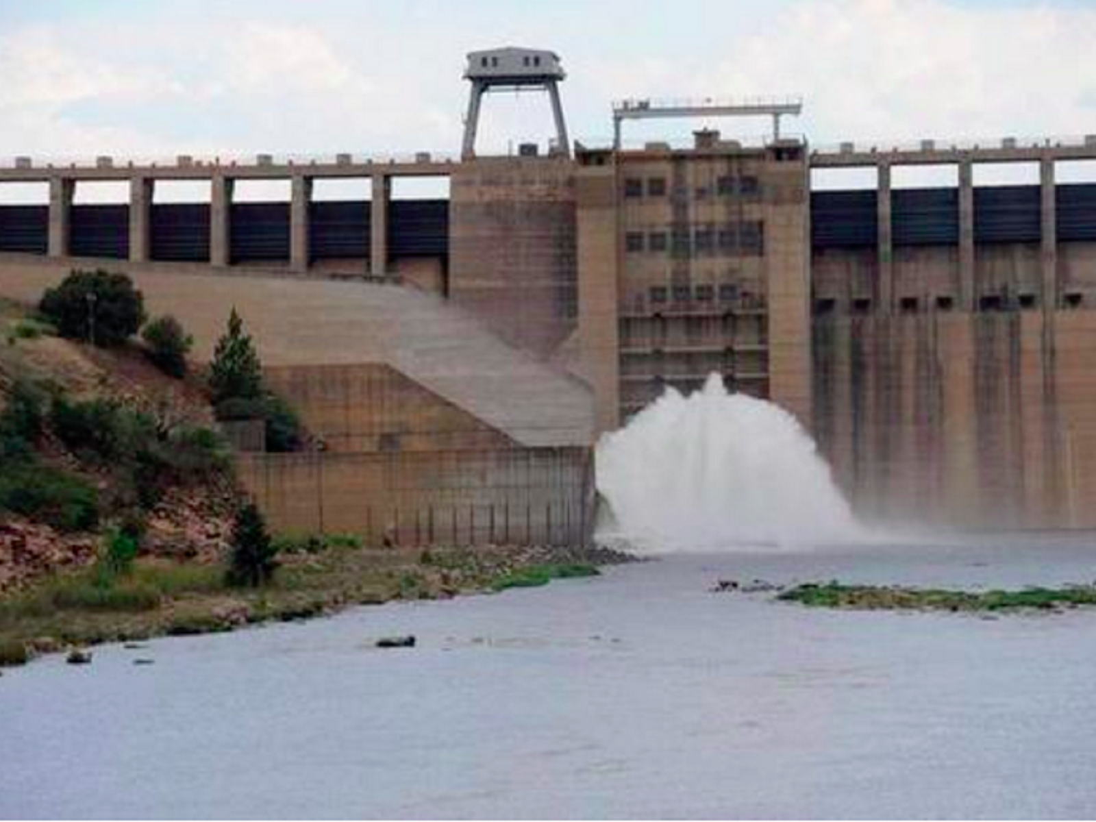
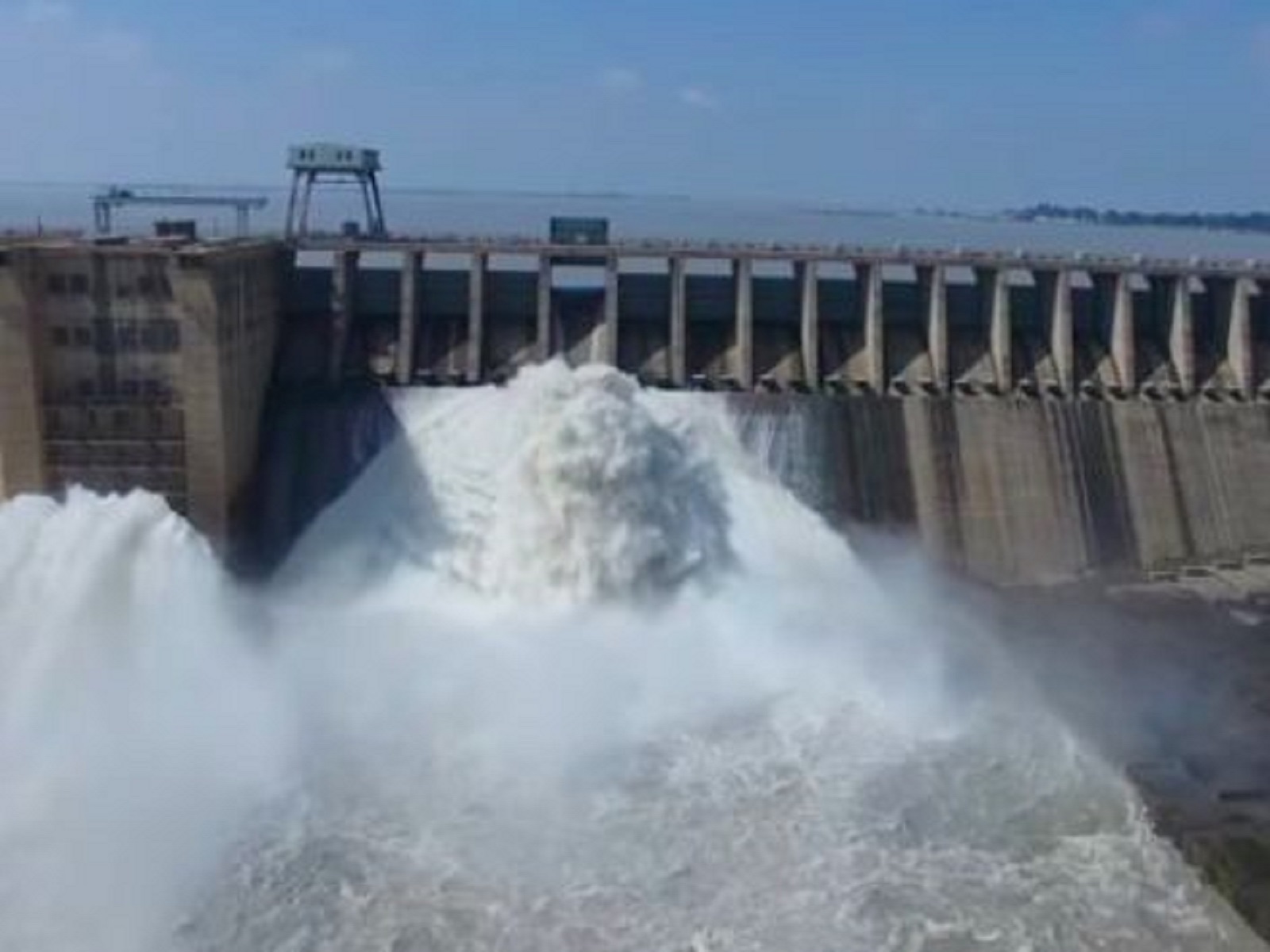
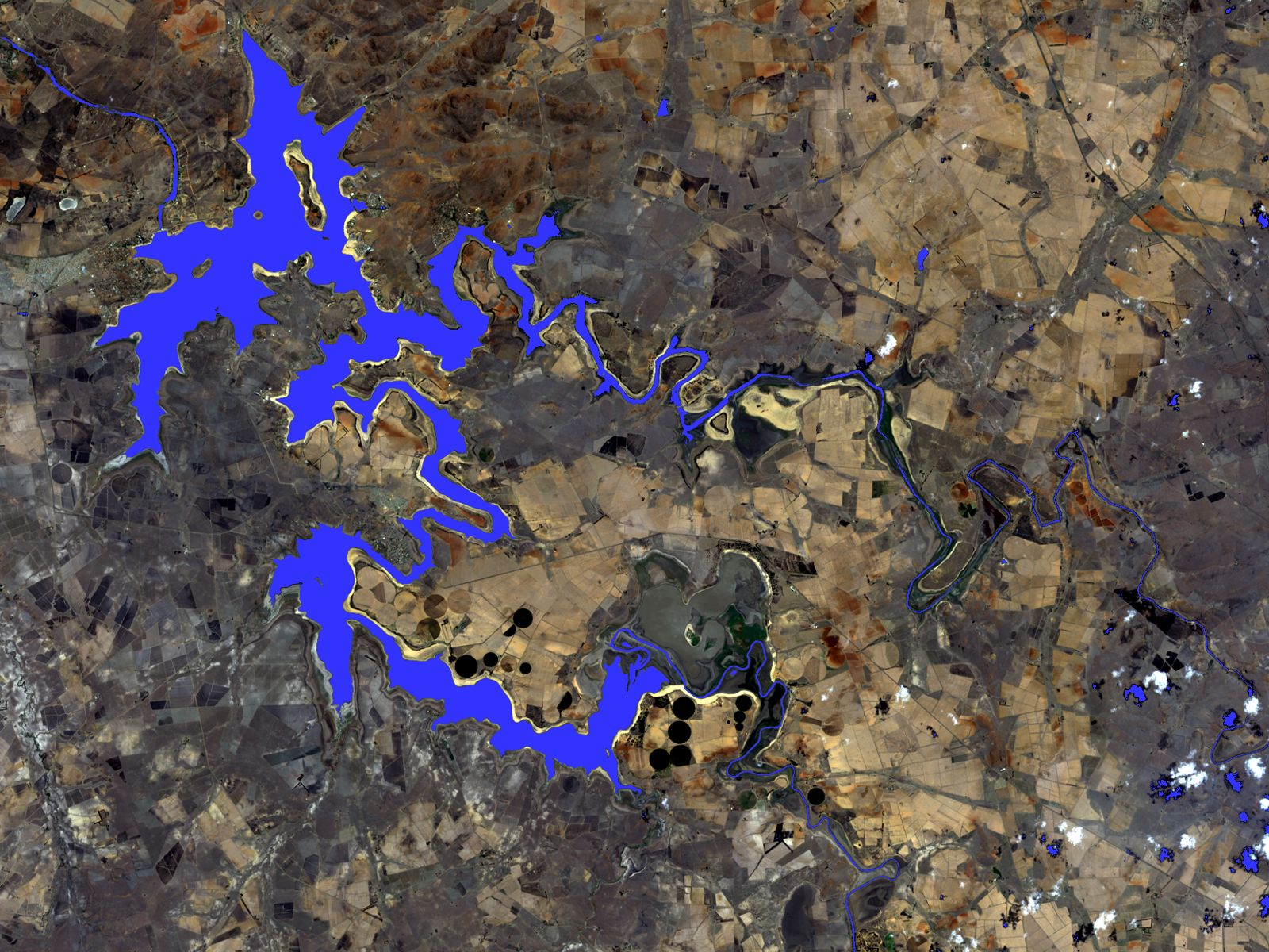
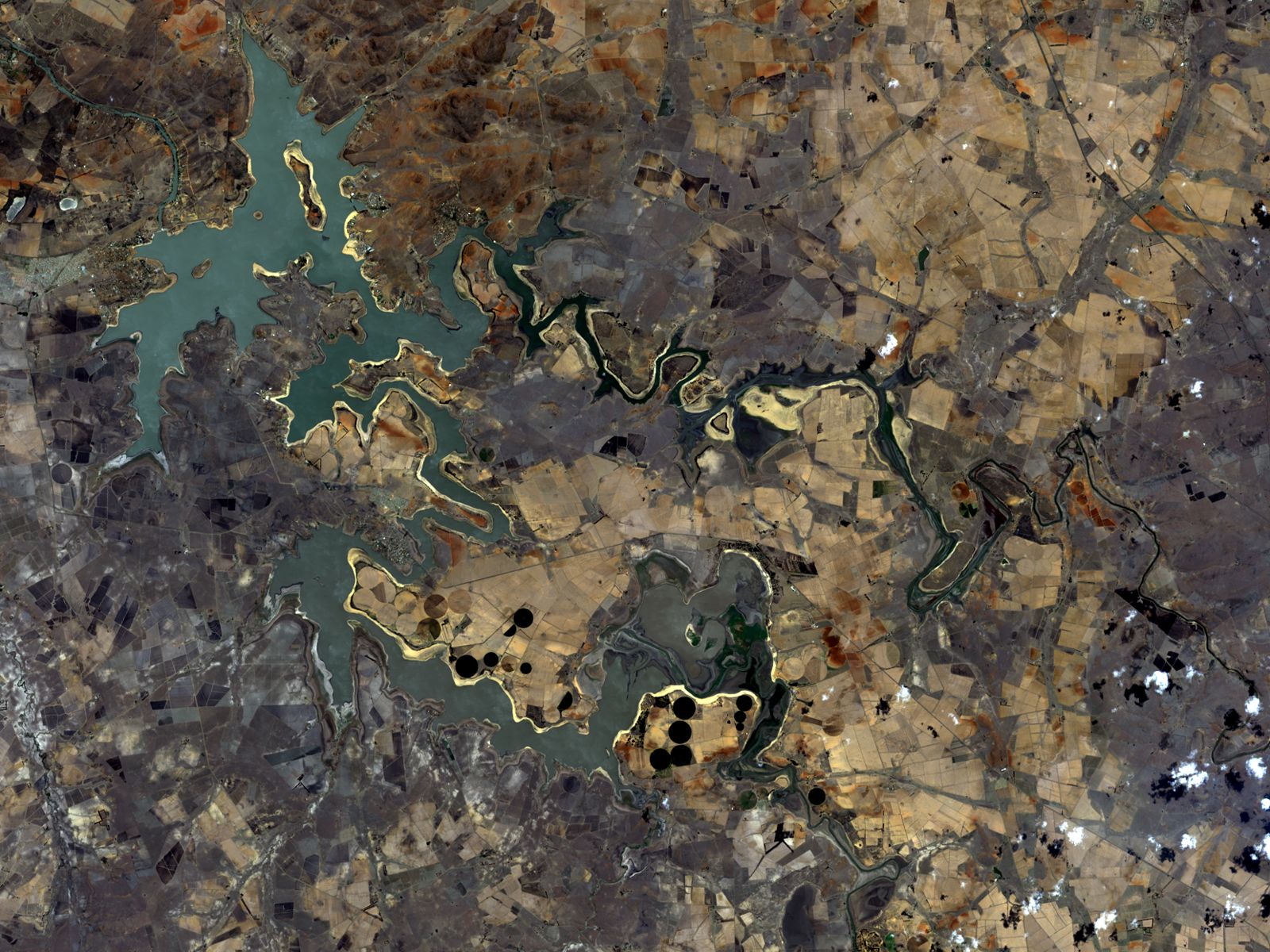
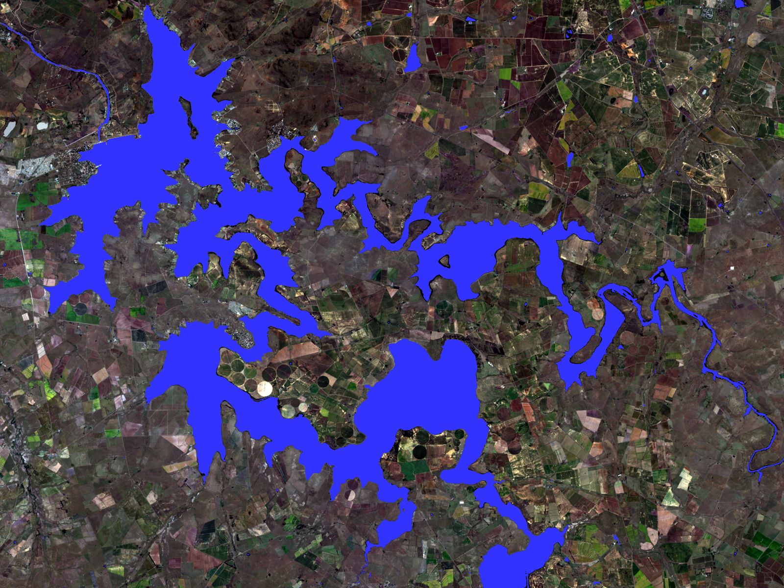
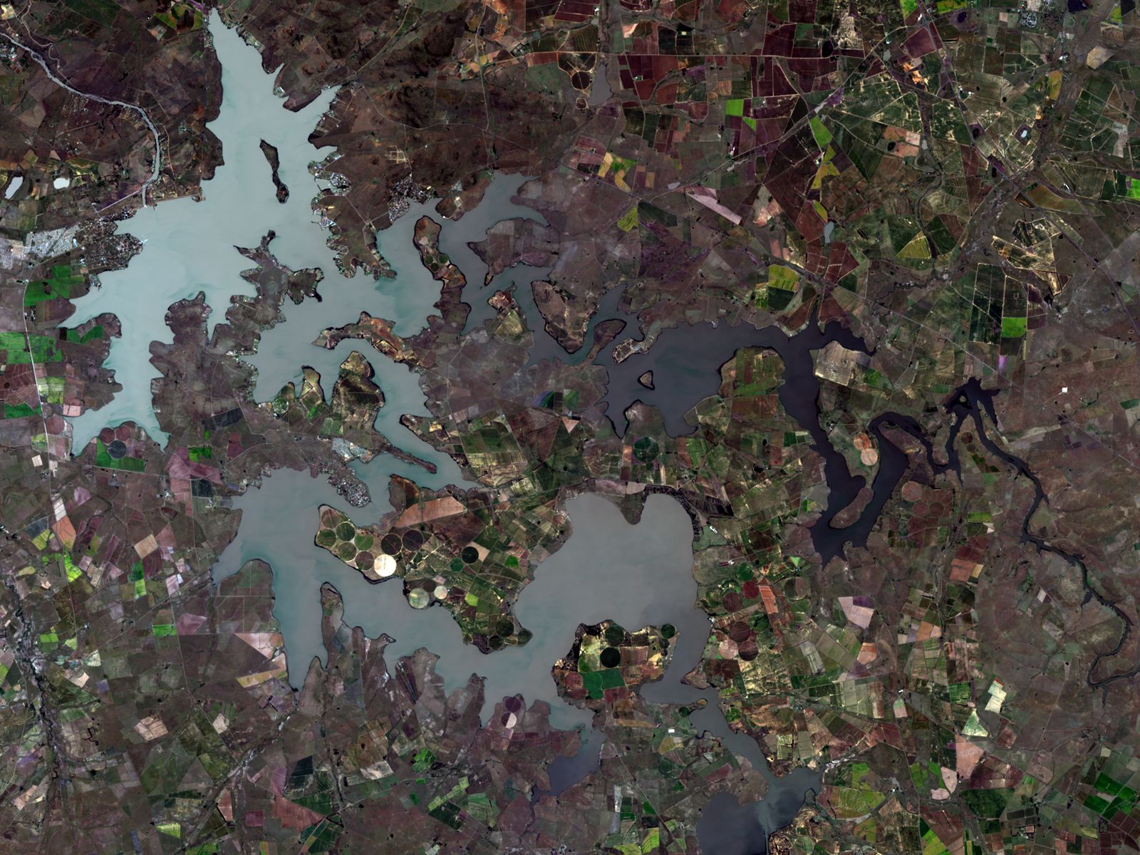
HySpeed WaterExtent shows the changing water level of Vaal Dam, South Africa's largest water reservoir from its frightening low level at 26% in October 2016 up to 100% level in March 2017.
Provider:
- HySpeed Computing
Powered by
On demand
Update frequency
Resolution
Access mode
Format
Delivery time
Story map
Product details
The WaterExtent application is based on published scientific methods and has been implemented using state-of-the-art geospatial data processing tools and architecture. WaterExtent is a robust index that performs well for most surface water conditions; however, known limitations include confusion with dark surfaces and shadows and underestimating water areas with high turbidity.
Monitoring is based on Landsat-8 and Sentinel-2 satellite images. The resolution of the satellite determines the resolution of the resulting map. The revisit time of 5 days for Sentinel-2 and 16 days for Landsat 8 define the maximum update frequency. Whenever an image take is available over a selected area, and the cloud coverage is below 20%, a new WaterExtent is generated. On average, biweekly or monthly updates will be available.
The WaterExtent package consists of the following output files:
- WaterExtent image (GeoTIFF)*
- WaterExtent shapefile (Shapefile)*
- True-color RGB base image (GeoTIFF)*
- False-color CIR base image (GeoTIFF)*
- WaterExtent layered on RGB base image (GeoTIFF)*
- WaterExtent layered on CIR base image (GeoTIFF)*
*All output files are distributed as single integrated ZIP file
Please note
Beyond the standard options, custom configurations are possible. Just contact us.
- Volume discounts for larger areas are available.
- On cloudeo, you can easily integrate analytics into your processing chain to save time and costs within your workflow.
Pricing / Licensing
cloudeo Terms & Conditions apply.