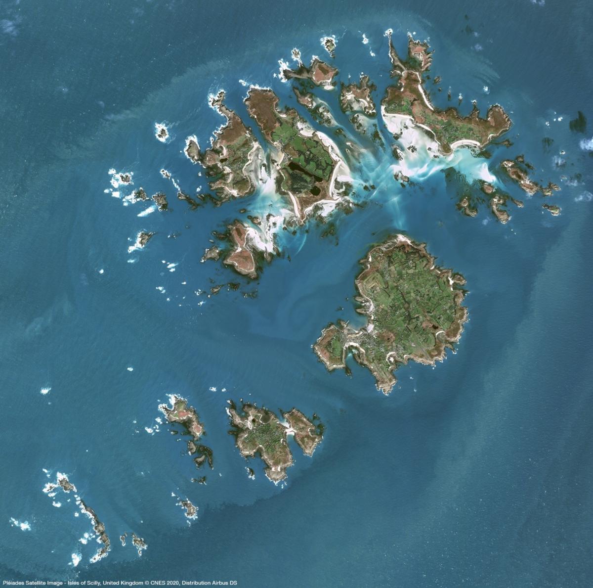
when some of the first cameras were strapped to balloons and kites, Earth observation technology and satellite imagery sources have come a long way since 1840. Until a few decades ago, Earth Observation imagery acquired by satellites captured only selected areas at low-resolution mainly for military purposes.
The global commercial satellite imaging market was estimated at $2,240.0 million in 2018 and is projected to reach $5,256.4 million by 2026, registering a CAGR of 11.2% from 2019 to 2026.
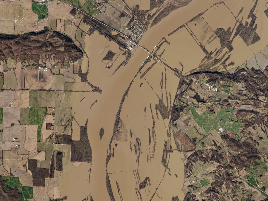
Satellite imagery is used for commercial purposes in a variety of applications, including environmental monitoring and management, energy resource protection, border control, and construction project mapping.
One of the primary benefits of satellite imaging is quicker image processing, which allows for more extensive earth coverage, making commercial satellite imaging services a favored option over other imaging services.
Commercial Satellite Imaging Market Segments:
By Application
- Geospatial Data Acquisition & Mapping
- Urban Planning & Development
- Disaster Management
- Energy & Natural Resource Management
- Surveillance & Security
- Defense & Intelligence
- Others
By End User
- Government
- Military Defense
- Forestry & Agriculture
- Energy
- Civil Engineering & Archaeology
- Transportation & Logistics
- Others
How can satellite imagery help your business?
Transportation, civil engineering, finance & insurance, real estate, oil, land administration and mapping, agriculture, humanitarian aid, and other industries rely heavily on Earth Observation data.
At the same time, it's important to remember that getting access to data and gaining actionable information from it usually takes a lot of time and money.
Cloudeo is a marketplace that allows everyone to build, train, and run detectors on satellite and aerial imagery.
Hexagon Pixel Delivery:
Hexagon Pixel delivery provides the highest quality aerial imagery data set of North America and Europe via WMS/WMTS streaming service.
SI Imaging Service:
SI Imaging is the exclusive company provider of high-resolution satellite imagery (both optical and radar) across more than 110 countries around the globe.
Cloudeo marketplace has both tasking and archive imagery fromAirbus Defence and Space is the world's second-largest space corporation and a major producer of satellites for Earth observation, navigation, and telecommunications. 2006 to present. SIIS is the exclusive distributor of the satellite imagery obtained by KOMPSAT-2A, KOMPSAT-3A, KOMPSAT-3 and KOMPSAT-5A satellites.
Where you can apply
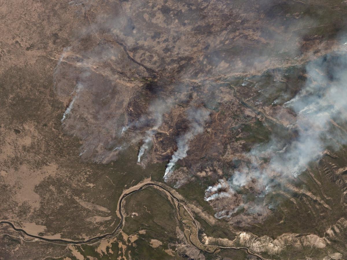
- natural disasters
- volcanic and seismic activity prediction (due to temperature-sensitive sensors usage)
- water currents monitoring
- natural resources control as well as forestry management improvement
- maps designing
- data acquisition for GIS (Geographic Information Systems)
Airbus
Airbus Defence and Space is the world's second-largest space corporation and a major producer of satellites for Earth observation, navigation, and telecommunications.
Cloudeo marketplace provide high-resolution satellite imagery from the following satellites: Pléiades, TerraSAR-X Archive, OneAtlas and SPOT 6/7 Archive.
TripleSat
A new high-resolution sensor can track any location on the planet and reveal information as small as 80 cm with TripleSat constellation.
Where you can apply
- Management of land use, forests, and urban infrastructure
- Crop Monitoring and agricultural findings
- Exploration for oil and gas
- Operational disaster relief and emergency response
- Surveillance in the maritime and littoral zones
- Defense, intelligence derived from imagery, and tactical preparation.
- Civil engineering and 3D modeling, as well as visualization, are all aspects of civil engineering.
Planet
Planet provides organizations with the data they need to make educated, timely decisions by providing geospatial insights at the pace of change.
Planet Basemap, Planet Archive , and Rapideye are the following Satellite imagery products clouded offers.
Benefits of using satellite Imagery:
There are many benefits of using satellite imagery. It can be used to monitor weather systems with great precision, particularly dangerous storms like hurricanes. Since satellites orbit the Earth, their imaging operation can be easily replicated. It also allows for much larger coverage areas, and since all data is digital, it is simple to incorporate with applications. In certain situations, cloud cover has no impact on the outcome.
Changes in the climate
Global surface temperatures are rising, sea levels are rising, ice is melting, and changes in weather patterns are causing heavy rainfall and flooding in some areas while causing catastrophic droughts in others.
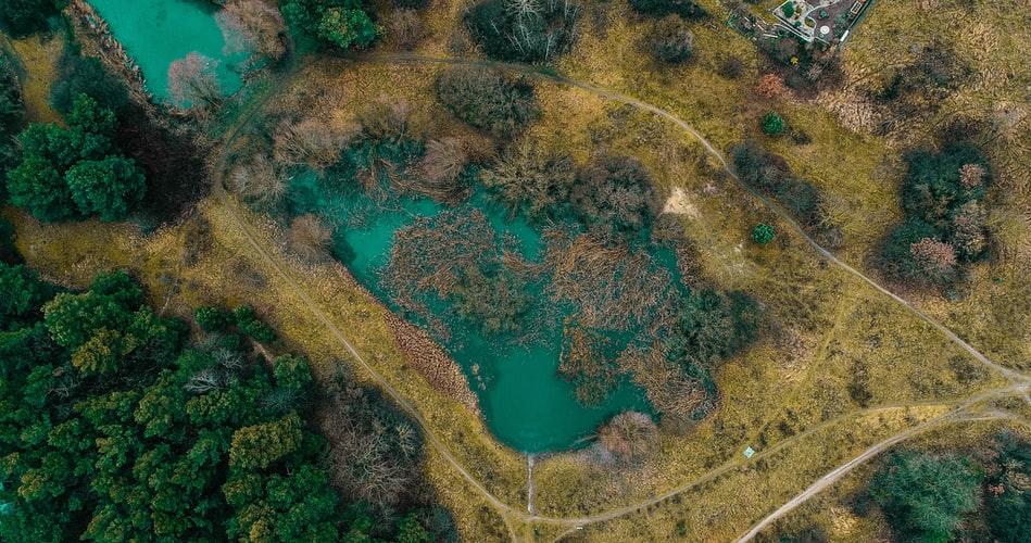
Deforestation
Deforestation has significant economic, social, and environmental consequences. Deforestation, which is often the product of inadequate land management and illegal logging, results in the loss of vital wildlife habitat, a reduction in government revenues, and market distortion.
It's difficult to keep track of remote forests. The true extent of deforestation can be determined thanks to satellite monitoring.
Precision agriculture
Agriculture is made up of many interconnected systems. Resources should be organized efficiently in order to optimize yield and sustainability. Using digital satellite data instead of traditional agricultural methods will greatly improve resource and cost efficiency.
Optical imagery will reveal a lot about how a crop grows and develops. Radar tracking can be used in other situations where there is a lot of cloud cover.
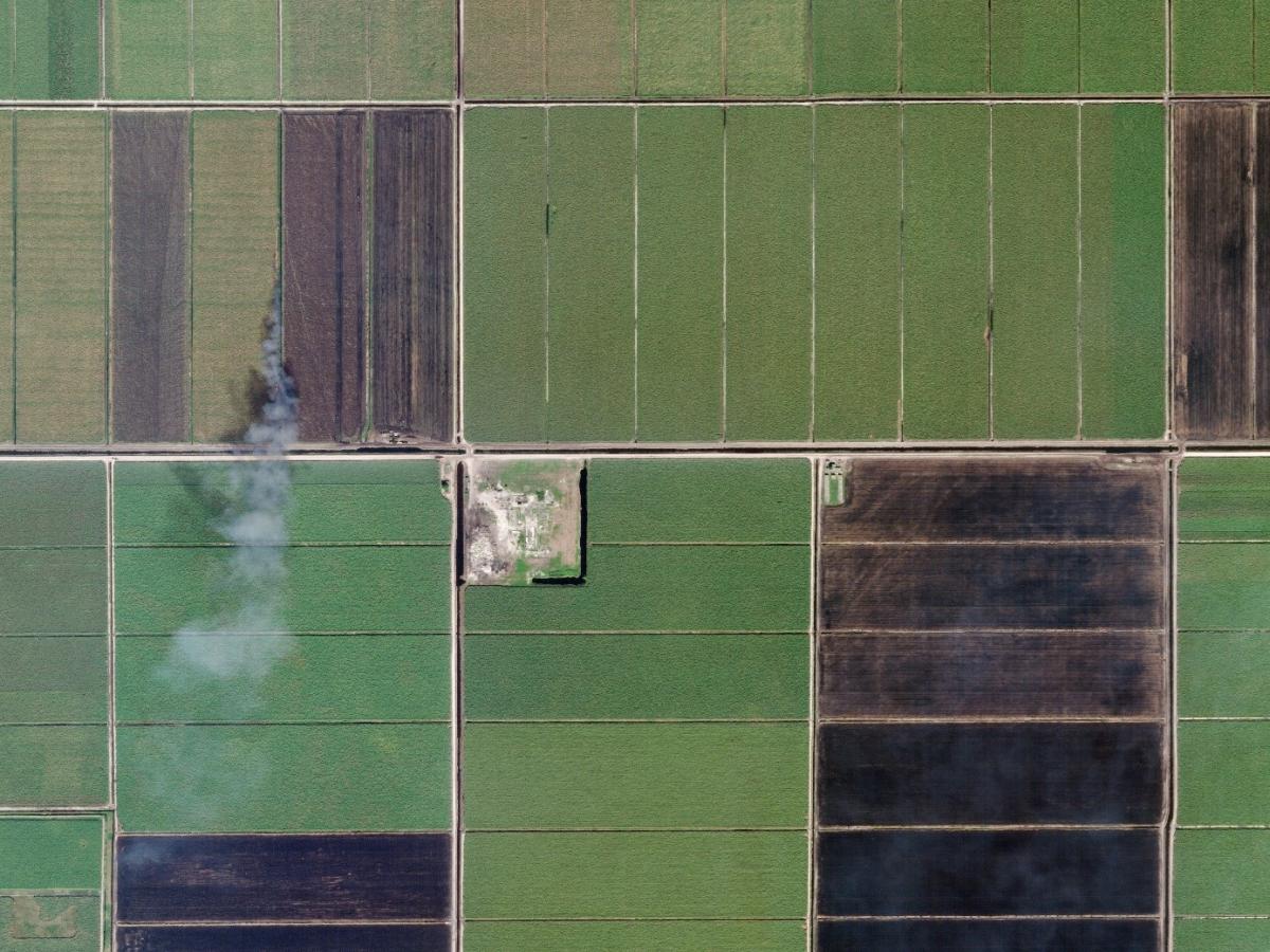
In an industrial farming area, use satellite imagery to develop intelligent solutions to increase crop yields, efficiently manage field use, and save resources.
Insurance
Nothing is more critical to insurance policyholders than rehabilitation when a catastrophe occurs and damages occur.
Customers rely on their insurers to respond as quickly and effectively as possible between catastrophe and disaster relief. Assessing claims and fraud, especially in remote areas, can be time-consuming and costly.
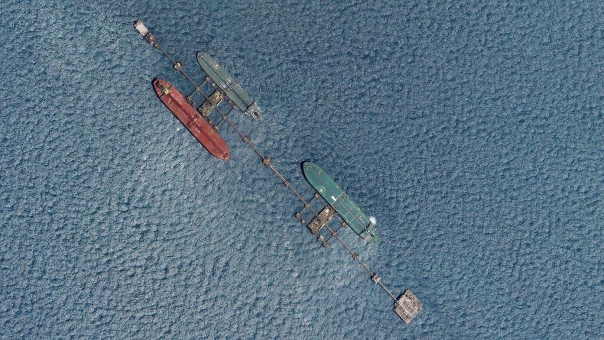
Marine
70 percent of the Earth's atmosphere is covered by water. As a result, monitoring maritime activity can necessitate an investigation spanning thousands or even millions of square kilometers.
When paired with other data sources including AIS and weather parameters, having a satellite's-eye view optimizes your maritime operation.
On a global scale, satellite imagery allows you to map, forecast, and optimize maritime activity.