
The high-quality 30-meter DTM maintains the input Digital Surface Model (DSM) seamlessly and void-free with flattened water bodies. NakedEarth provides Digital Terrain Models (DTM) that focus on terrain retention while removing surface features. It is ideal for orthorectified imagery, mapping, 3D visualization, and modeling surface processes on a large or even global scale.
Product Description
The various input data formats for the generation of NakedEarth make this service highly flexible and beneficial to customers working in agriculture, forestry, land planning, construction, and more. With instant access to any area in the world, NakedEarth is suitable for time-critical applications, e.g., natural disaster management and flood modeling, as well as cloud applications. The high quality 30-meter Digital terrain model is processed with Novlum’s proprietary DSM-to-DTM generation system. It is derived from the globally available AW3D 30 Digital Surface Model (DSM), collected by the Advanced Land Observation Satellite (ALOS, © JAXA). It is available off-the-shelf for the entire globe.
NakedEarth is delivered on the Workbench, which bundles data with flexible and scalable IT. The cloudeo Workbench is a powerful virtual desktop that is specifically configured for geoprocessing; it can save time and expenses for new hardware, software installation and licensing, and data acquisition. Access your Workbench from any device through the remote desktop application and perform your remote sensing and GIS workflows with the same look and feel as in your current desktop environment. The Workbench has additional choices for preinstalled software and data. For more information about the Workbench, please click here.

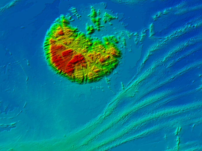
Aïr Massif, Niger, Africa

Mount Fuji, Japan

Rocky Mountains, USA

Murray River, Australia
Provider:
- Novlum Inc.
Off the shelf
Resolution
Access mode
Format
Delivery time
Downloads
Product details
The Novlum DTM Processing System provides the following features:
- Proprietary and fully-automated DSM-to-DTM generation software
- Artifact removal and void fill
- Terrain preservation (breaklines)
- Surface features removal (buildings, vegetation)
- Flattening of water bodies
- Maintaining accuracy, quality, and consistency of input DSM (statistically and qualitatively)
Input Data for NakedEarth generation:
- Digital Surface Model: AW3D30 (© JAXA)
- Forest Map (Univ. of Maryland)
- Settlement Map (European Commission)
- Water Body Data (SRTM, USGS)
- Road network (Open Street Maps)
Please note
- For delivery of this product, a Workbench is required. The Workbench is not included in the calculated price. Please configure it separately and add to your cart: Workbench. If you already have a Workbench, just contact us.
- Once you have placed your order, you will receive a confirmation e-mail. When your Workbench is ready, you will receive your credentials and a short user guide.
Free sample data from the Novlum webpage:
- NakedEarth Sample of Mount Fuji, Japan.
- NakedEarth Sample of Rocky Mountains, Colorado, USA
Pricing / Licensing
Novlum EULA and cloudeo Terms & Conditions apply.