
Data as a Service (DaaS)
As more and more mainstream industries embrace geospatial technology, it is common for our customers are turning to the cloud environment to modernize their infrastructure, to collaborate better, and to create leaner workflows.
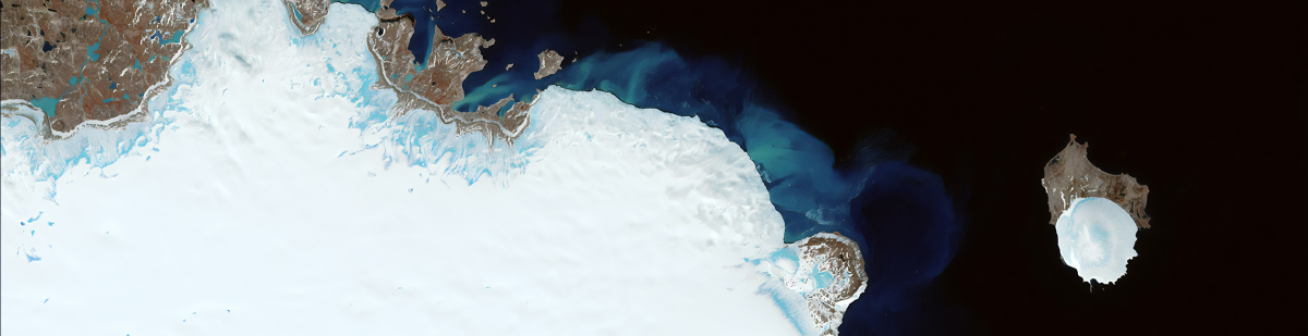
Our Data as a Service, or DaaS, is an increasingly popular solution among our customers for accessing highly valuable data from various sources, like suppliers of satellite, airplane, and UAV imagery and data, without a need to buy permanent licenses for EO data integration, management, storage, and analytics. Using data as a service is especially advantageous for short-term projects, where long-term or permanent licenses and data purchases can become cost-prohibitive.
By using our DaaS, our customers get faster access to multiple high-quality data sources, make their workflows more agile, reduce time-to-insight, and increase the reliability and integrity of their output. With DaaS, customers never need to worry that their data packages are obsolete or outdated – they will be automatically updated as new data are made available by the providers.
Our strategy of delivering data applications to our customers is designed specifically for fast, large-scale EO cloud service management, and processing has made our DaaS beneficial for many different industries and applications.
Benefits of cloudeo’s Data as a Service
- Minimal setup time: Using a DaaS solution, our customers can begin processing and work with data almost immediately.
- Improved functionality: Our cloud infrastructure is stable and reliable, reducing downtime and disruptions for DaaS workloads.
- Greater flexibility: cloudeo DaaS is more scalable and flexible than the alternatives and allocates resources instantaneously.
- Cost savings: With cloudeo DaaS, data managing and processing becomes more cost-effective. Our customers can allocate just the right amount of resources and adjust them as needed.
- Automated maintenance: The tools and services built on cloudeo DaaS platforms are automatically managed and kept up to date, which saves our customers cost and effort for updating it.
- Making more effective use of their human capital: Customers using our DaaS platform can make more effective use of their human capital like people don’t have to spend time doing this and can focus on other tasks.
- Connected Hub: With the cloudeo DaaS platform, our customers can get to work without downloading data, and still have regular access to the data to serve their customers in a revenue-sharing model.
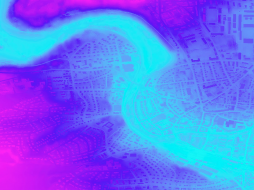
 Novlum Inc. The high-quality 30-meter DTM maintains the input Digital Surface Model (DSM) seamlessly and void-free with flattened water bodies. NakedEarth... |  Intermap Technologies Provides seamless digital elevation data with data coverage for 40 countries at 5-meter resolution and reduces costs with time-limited licenses and no minimu... |  Intermap Technologies High-resolution terrain models give planners a reliable and accurate (one-meter resolution) planning tool to ensure the best possible assessment of a projec... |
 Intermap Technologies High-resolution terrain models give planners a reliable and accurate (one-meter resolution) planning tool to ensure the best possible assessment of a project... | 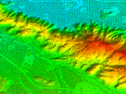 Intermap Technologies NEXTMap One™ offers the most recent and up-to-date digital elevation models, with one-meter resolution, for every state in the US (excl. A... | 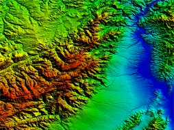 Intermap Technologies Access seamless 10m resolution digital surface models (DSM) and digital terrain models (DTM) with worldwide coverage. A high ground sampling distance allows... |
 Airbus Defense and Space OneAtlas Analytics leverages premium Airbus satellite imagery, AI, and cloud computing technologies to extract actionable insight fast, in a cost-effective w... | 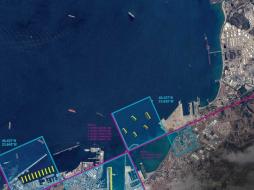 Airbus Defense and Space OneAtlas Data is a unique place for quick and easy access to updated High resolution satellite imagery and layers at your fingertips. Based on the Airbus con... |  Planet Power your applications and analytics with seamless Planet Basemaps built from the most recent imagery over broad areas. With daily, global imaging, Planet s... |
 Planet Frequent, global imagery is a powerful source of truth. But harnessing that data can be challenging, even for the most seasoned users, and manual, time-inten... | 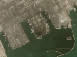 Planet Frequent, global imagery is a powerful source of truth. But harnessing that data can be challenging, even for the most seasoned users, and manual, time-inten... |  Planet Access and download past imagery from the PlanetScope Archive catalogue over any area of interest. PlanetScope satellites capture daily imagery going back to... |
 Sentinel Hub VAS Have you ever wanted to have easy access to satellite data? Then EDC Sentinel Hub is the way to go. EDC Sentinel Hub is the go-to data processing service to... |  Planet Stay ahead in today’s rapidly evolving business landscape with a persistent view of business operations and assets – everywhere on Earth. But traditional ima... |  Planet Select 10,000km² of PlanetScope satellite imagery al a carte. Perfect for projects with strict scopes and deadlines, customers can pre-pay for imagery, past... |
 Airbus Defense and Space Pleiades is an optical satellite constellation providing very high-resolution products (50cm) with a 20-km swath. Both the space and the ground segment have... |  Sentinel Hub VAS Have you ever wanted to have easy access to satellite data? Then EDC Sentinel Hub is the way to go. EDC Sentinel Hub is the go-to data processing service to... |  Sentinel Hub VAS Have you ever wanted to have easy access to satellite data? Then EDC Sentinel Hub is the way to go. EDC Sentinel Hub is the go-to data processing service to... |
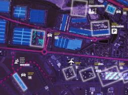
 Planet Access the rich archive of imagery from the longest running satellite in the Planet catalogue, RapidEye. Perfect for a “high level” overview, the 5-meter res... |  cloudeo To get a literal “high-level overview” of any plot of land (for example, to monitor long-term and short-term changes from construction, infrastructure, or na... |  Planet With an industry-leading combination of coverage and cadence, Planet delivers Earth imaging data at unprecedented scale. Planet’s 15 SkySat satellites gather... |